Share this post
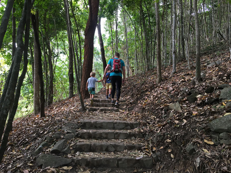
The Yellow Arrow Cairns walking track is one of my family’s favourite hiking tracks. Over the last two years, we’ve hiked this trail many times, sometimes as training hikes and sometimes just for fun.
Located in Mount Whitfield Conservation Park, the Yellow Arrow track is a popular walk or trail run for many locals. Located so close to the city, it makes a great walk for beginners and a fantastic short trail for runners.
“ThE Yellow arrow is a winding track with a gentle steady incline and lots of steps.”
If you’re visiting Cairns and would like to tackle an enjoyable and moderately challenging hike, I would recommend you add this to your list of fun things to do in Cairns.
This detailed guide will provide you with all the information you’ll need to plan a hike to the top. There are maps, hike statistics, directions and lots of pictures of my family on one of our hikes along the Yellow Arrow track.
Highlights
________
- Lovely views of Cairns airport, city and waterfront
- No experience required, so anyone can tackle this trail
- Links up to Red and Blue arrows for a longer walk or run
This hike is great for
_____________
- An easy, short walk
- Trail running
- Beautiful scenery and spectacular views
- Spotting brush turkeys along the way
Best Time to Visit
_____________
The trail is open year-round and is beautiful to visit anytime. Mornings are, however, best to tackle this trail as sections of the trail are in the open. Take a bottle of water with you as it gets hot early.
Guide to Yellow Arrow Cairns Walking Track

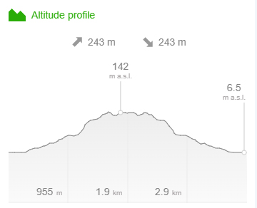
Distance – 3.9km return
Time – Allow about 1.5hr walking time
Elevation – 148m
Grade – Moderate
Track – Out and Back
Location – Mount Whitfield Conservation Park
Start/Finish – Yellow Arrow Car Park
Gradient – Short steep hills
Quality of path – Formed track
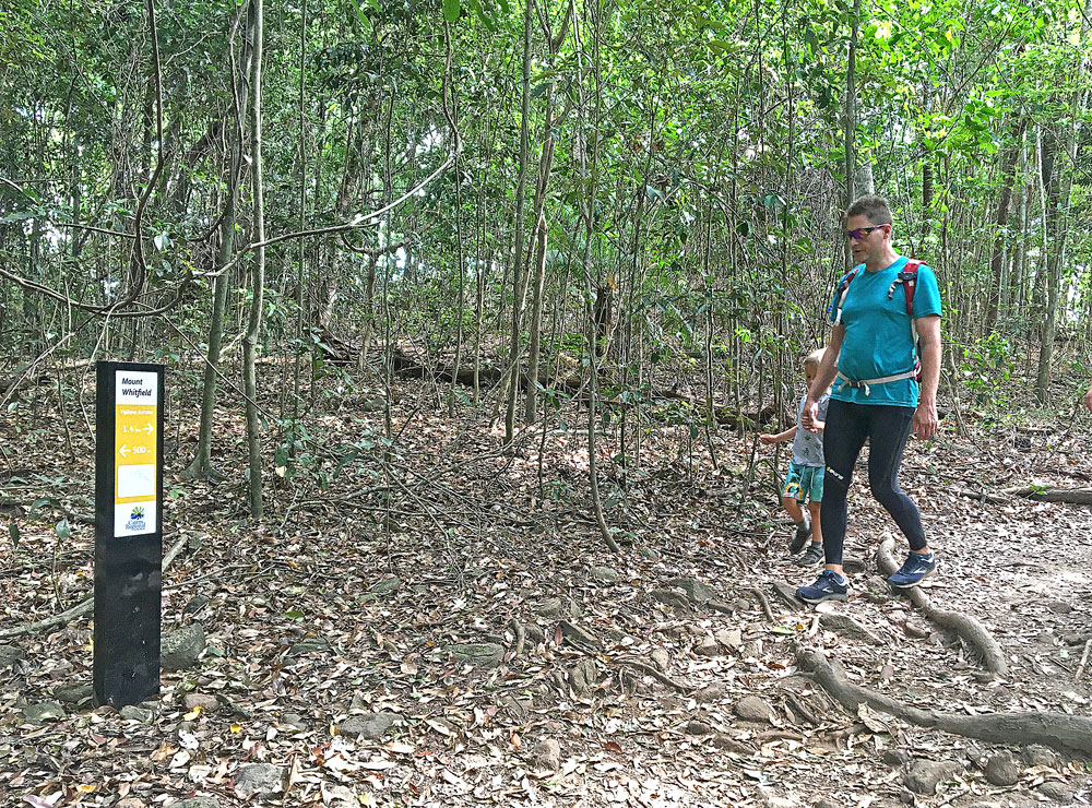
Quality of markings – Clearly sign posted
Steps – Many steps
Experienced required – No experience required
Yellow Arrow Cairns Map
_____________
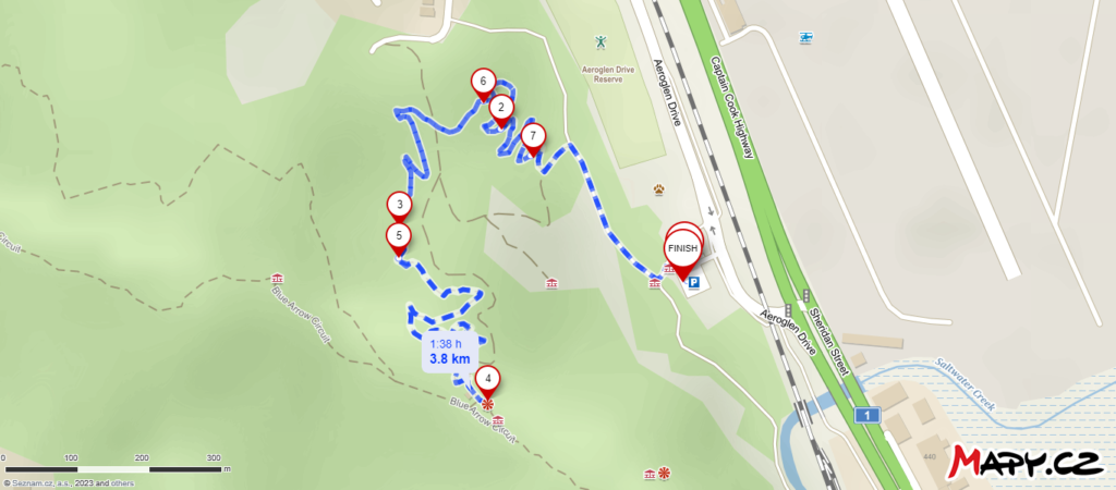
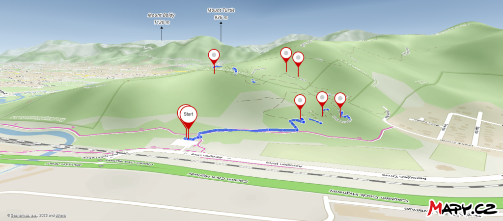
Parking for Yellow Arrow Cairns Track
_____________
From Aeroglen Road, turn off into the Yellow Arrow Car Park. There’s plenty of parking available here.
Turn right on to the walking track and walk about 100 metres to reach the start of the Yellow Arrow walking track.
Directions for Yellow Arrow Walk
_____________
The Yellow Arrow Track starts from the Yellow Arrow Car Park off Aeroglen Drive. From the car park, turn right and follow the road till the start of the Yellow Arrow track on the left.
The Yellow Arrow Track climbs steadily up the hillside of Lumley Hill to a junction with the Blue Arrow Circuit which can be tacked on to this route for a longer walk.
“THE YELLOW ARROW WALK LINKS AEROGLEN TO THE RED AND BLUE ARROW WALKING TRACKS.”
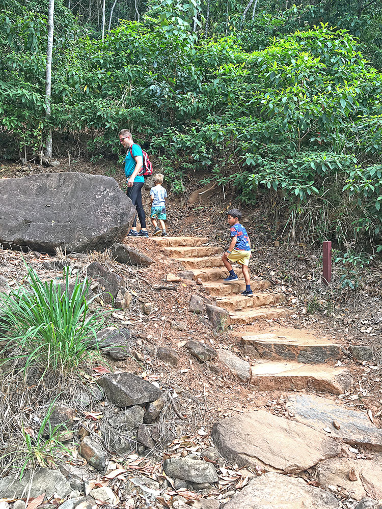
The trail incorporates a number of natural features along the way including large rock slabs and boulders, rock lined gullies and large native trees.
The total length of the trail is approximately 1.9km one way. From the ridge where the Yellow Arrow Track ends there are fantastic views over Cairns Harbour and the Airport.

In Conclusion
_____________
The Yellow Arrow Cairns hiking trail is a family favourite. Why? Because it has just the right elevation making it easy enough to walk up and run down but hard enough to make it a moderately challenging hike. In fact, my boys love to run and jump over the steps on the way down. And we always stop at the top for a snack and to enjoy the lovely views from the lookout.
If you’re looking for more fun things to do in Cairns, there’s many more enjoyable hikes around Cairns as well as other exciting activities and places to visit. So do visit my page, 101 Fun Things to Do in Cairns.
I love to hear from my readers. Have you completed the Yellow Arrow Cairns walk? Please let me know what you loved most about this hike. Kindly leave your comments below.
