Share this post
One of the lesser known hiking trails in Cairns is the track to the summit of Saddle Mountain in Kuranda National Park. This is a rather steep climb to the weather station atop Saddle Mountain but a fun and exhilirating hike if you’re up for a challenge.
I love this trail for many reasons.
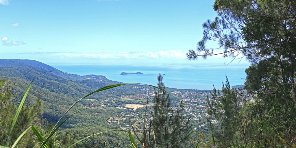
While half of the trail is on a wide gravel road, the other half climbs quite steeply through nice rainforest till you reach the summit. Once at the summit, the views out over Cairns and to the ocean and beyond are spectacular.
The other interesting bit about this track is the proximity to the mountain bike trails. You actually get to see more mountain bikers than you do hikers. There’s not a lot of hikers so you’ll have the trail mostly to yourself.
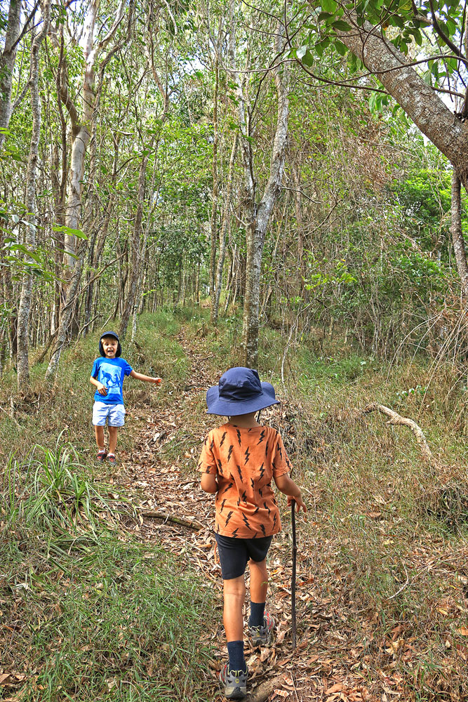
Highlights
__________
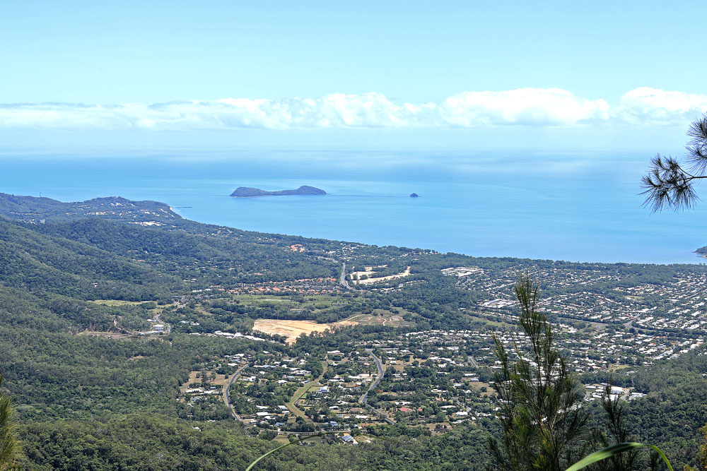
- Lovely views of Cairns’ northern beaches and coastline all the way to Double Island
- Walking beside mountain bike tracks
- A mix of gravel road and bush walking
- Chance to spot local wildlife along the way
This hike is best for
_____________
- A long, hard climb for serious hikers
- Great views of Cairns coastline and the ocean beyond
- Having the trail to yourself and enjoying some quiet time
Best Time to Visit
_____________
The trail is open year round and is best to visit anytime. Being a longer hike, the climb to Saddle Mountain is best started early in the morning. It does get hot, especially in summer, so take lots of water with you.
Guide to the Saddle Mountain Hike

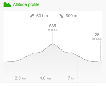
Distance – 9.3km return
Time – 4 hours return
Elevation – 649m
Grade – Hard
Track – Out & Back
Location – Kuranda National Park
Start/Finish – James Cook University Car Park near Ring Road West
Gradient – Steep incline
Quality of path – Formed track, some obstacles
Quality of markings – Not sign posted
Steps – No steps
Experienced required – Bushwalking experience mandatory
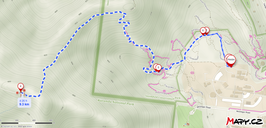
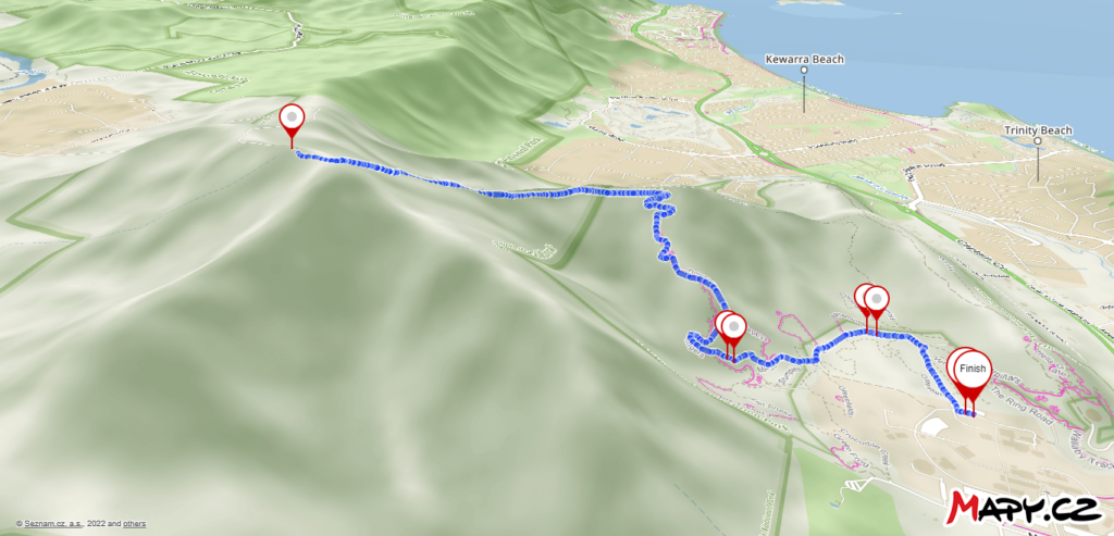
Saddle Mountain Map
_____________
Parking for Saddle Mountain
_____________
This trail to the summit of Saddle Mountain can be commenced from a number of locations. The closest and my preferred point is from the carpark in James Cook University north of Moka Bar and CSIRO.
To get here, don’t follow Google Maps directions which lead to a dead end gate. Instead, head along McGregor Road, turn onto James Cook University Road and finally on to Ring Road West. Head over to the carpark mentioned above.
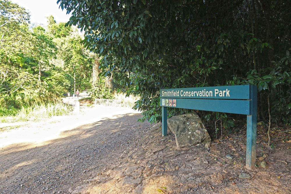
“THE SADDLE MOUNTAIN TRACK STARTS FROM THE JAMES COOK UNIVERSITY CARPARK.”
Directions for the Saddle Mountain Hike
_____________
1. Gravel Road Section
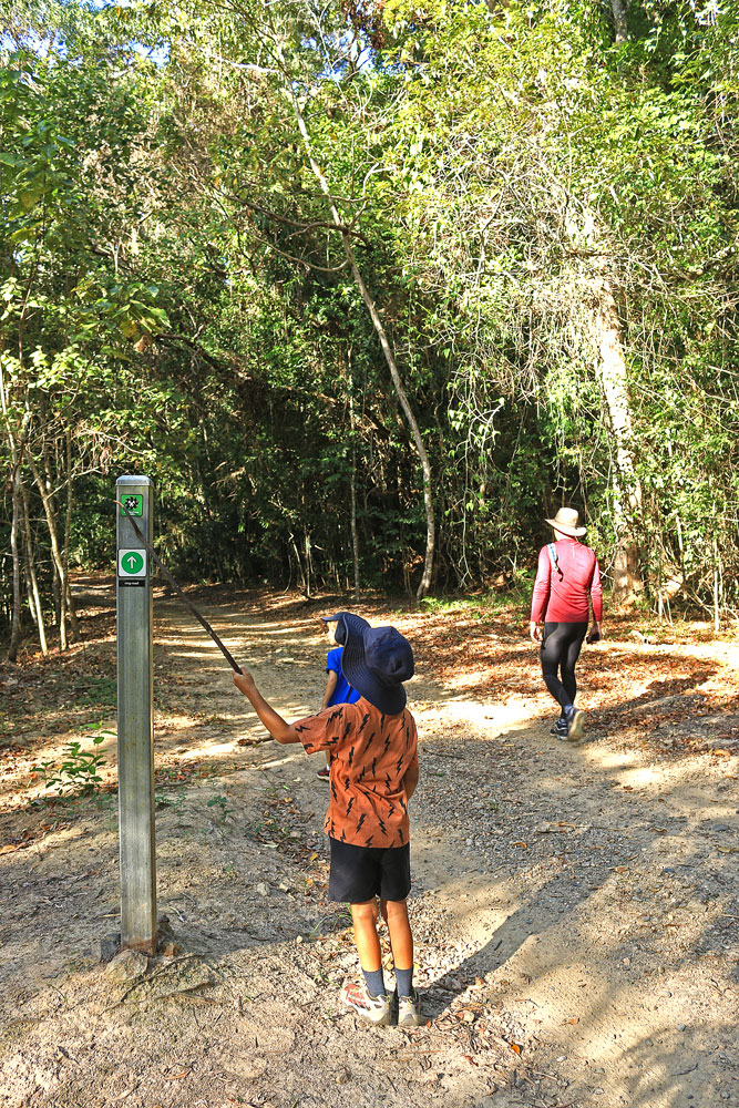
The first 3.5 km of the trail is along a wide gravel road which turns into a bushy track at the halfway junction. The wide gravel road mostly follows the mountain bike trails which are to the left (going up).
There are a couple of steep sections on the gravel road but most of it is a steady uphill climb. The gravel road is predominantly made up of switchbacks.
To start off, head along the dirt path which leads past the newly created mountain bike stunt park to the start of Smithfield National Park. You will see a sign that says ‘Smithfield National Park’.
Continue on the path to the left of the sign which is the Green Arrow mountain bike track. You will come to a fork in the road. Take the right path which becomes the Blue and Black Arrows mountain bike trails. This will take you along the gravel road all the way to a roundabout.
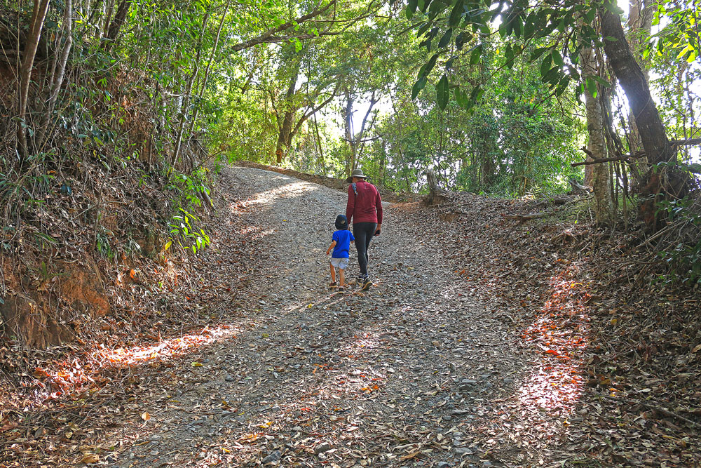
Midway Point – Turnoff Junction
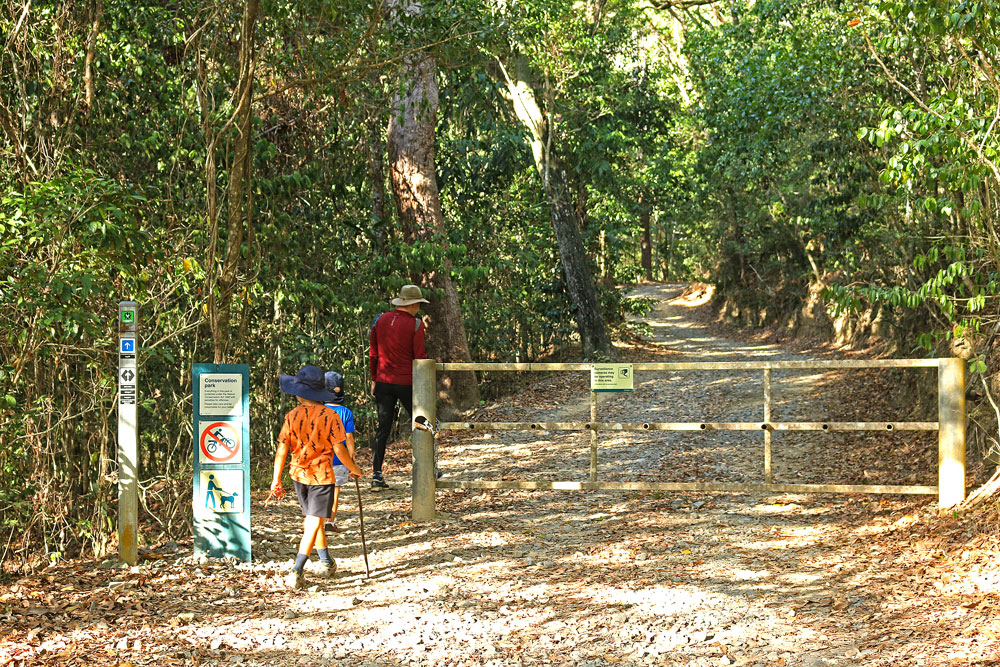
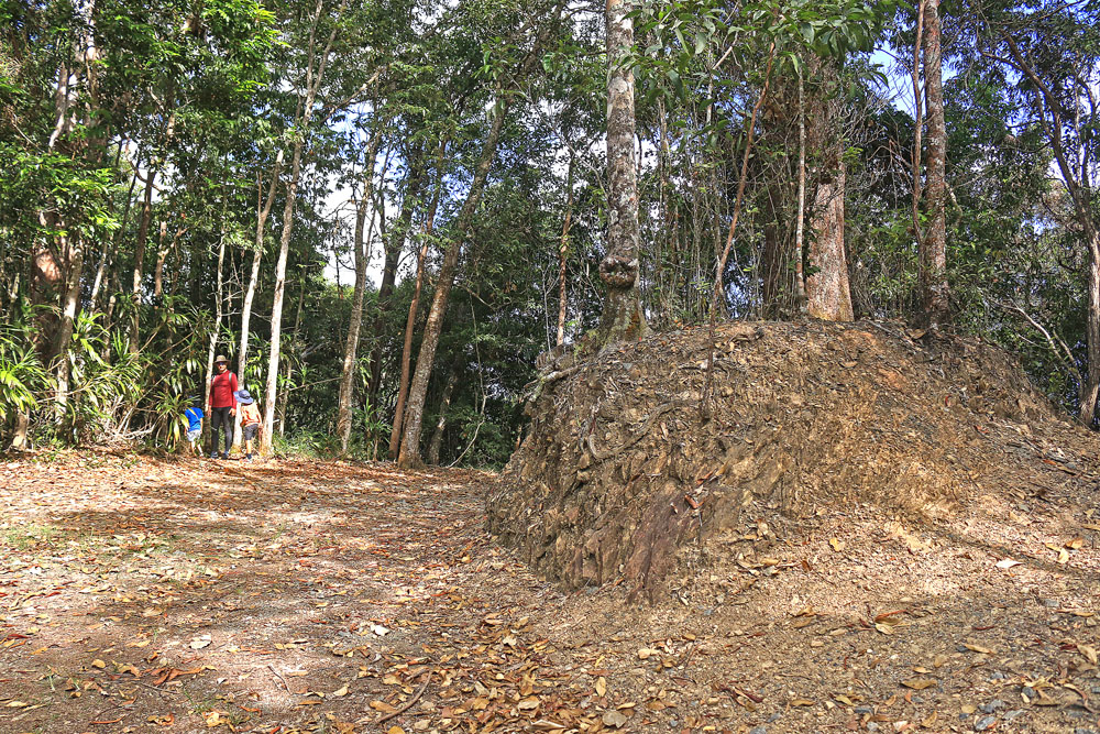
This is the halfway point and where the track changes from a wide gravel road to a narrow trail through the rainforest.
At the roundabout the gravel road veers right and to the left is a narrow trail that heads into the rainforest. Take the narrow trail on the left. It can be easily missed so keep a lookout for it.
2. Foot-Track through Rainforest to Summit
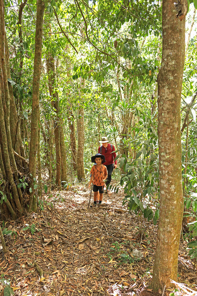
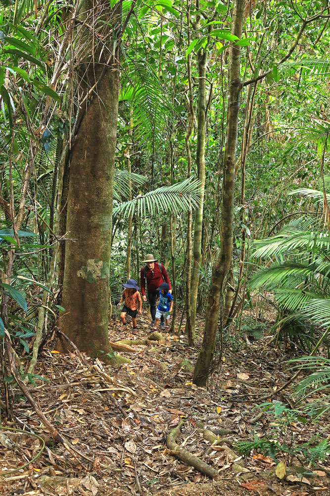
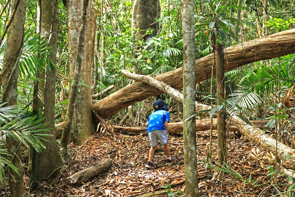
The much narrower foot-track from this halfway point starts off pretty flat but gets steep very quickly. The steepest section is towards the end and requires some scrambling to get to the top.
Some people talk about leeches and spiders; however, we didn’t come across any during our climb as the weather was warm and dry. If you’re hiking in the wet or after the rains, it’s worth using some insect repellent to ward off the leeches.
The Summit
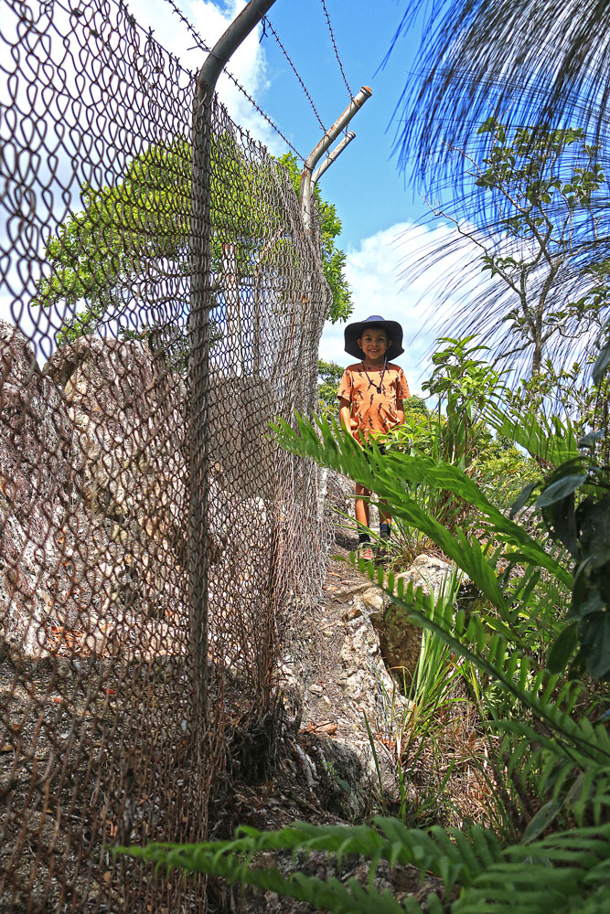
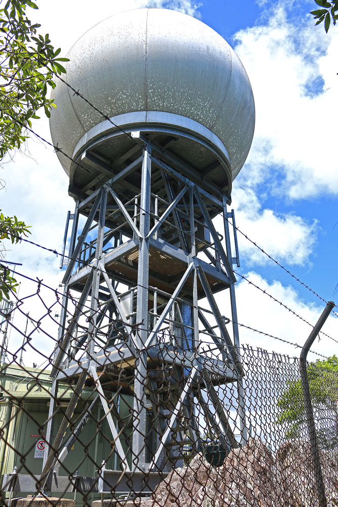
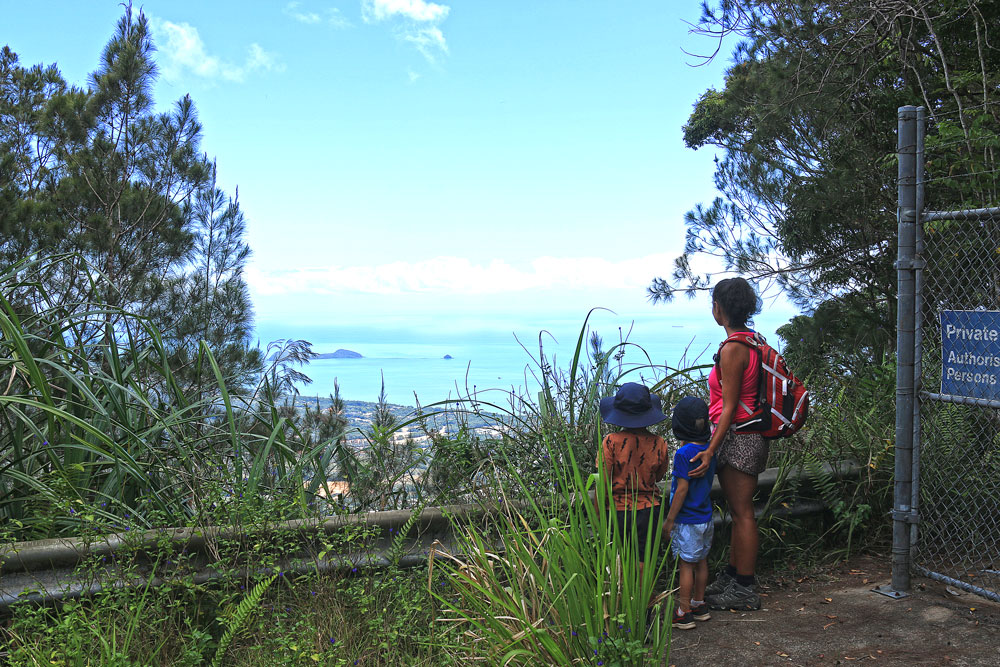
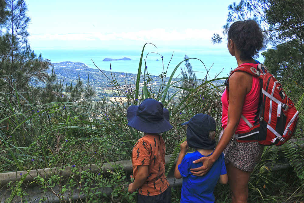
When you get to the weather station at the top, there are two ways to go. Head around to the left of the weather station instead of straight up. There’s not much room at the top but if you make the effort to navigate around the fence to your left you will get to a spot that is pretty flat and spacious. The views from here are unobstructed too.
The views are truly spectacular and well worth the hike. From the summit, you can see out to Double Island and across to Trinity Beach and Yorkey’s Knob.
3. Return Trip
After you’ve had a rest and a snack to eat, it’s time to head back down the mountain. As this is a one-way track, you can retrace your steps back down to the starting point.
In Conclusion
_____________
I love hiking to the summit of Saddle Mountain even though it’s not a popular hiking trail in Cairns. I’ve completed it a few times now and it doesn’t get boring.
Saddle Mountain is a great training route for people who want to get fit as it has some steep elevation gains in certain sections. However, it’s not a huge time commitment as it’s a much shorter hike than some of the other advanced hiking trails in and around Cairns.
If you’re looking for more fun things to do in Cairns, there’s many more enjoyable hikes around Cairns as well as other exciting activities and places to visit.
I love to hear from my readers. Have you completed the hike to the summit of Saddle Mountain or planning to? Please let me know your thoughts on this hiking trail. Leave your comments below.
