Share this post
The Mount Sorrow ridge trail in Cape Tribulation is considered to be one of the best hikes in Far North Queensland. It’s also considered to be a challenging hike suitable for fit and experienced hikers.
After tackling this trail in 2022 with my 6-year old son, I think it can be done by any keen hiker, fit or otherwise with the right directions and commonsense.
And so I wrote this detailed and informative guide for hikers so they can climb the Mount Sorrow ridge trail whether they’re beginners, intermediate or experienced hikers.
Continue reading to find important details, tips, directions and maps for tackling the Mount Sorrow ridge trail in Cape Tribulation, where the rainforest meets the reef.
Highlights
__________
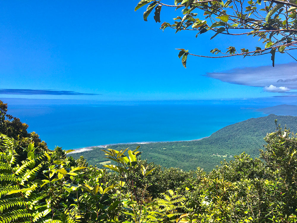
- Spectacular views of the Cape Tribulation coastline, where the rainforest meets the reef
- Walk amongst beautiful tropical rainforest vegetation
- If you’re lucky you could spot some Boyd’s forest dragons amongst the trees
- Watch butterflies flutter past at the summit lookout
This hike is best for
_____________
- Fit and experienced hikers
- A challenging day hike
- Spectacular coastline views
- Tropical north Queensland flora and fauna
What to Expect on Your Climb
_____________
The Mount Sorrow ridge trail is a challenging 7km return trail that climbs from the coastal lowlands of Cape Tribulation, up the rainforest-clad ridge of Mount Sorrow to a lookout offering views of the beautiful Daintree coastline, Snapper Island and beyond.
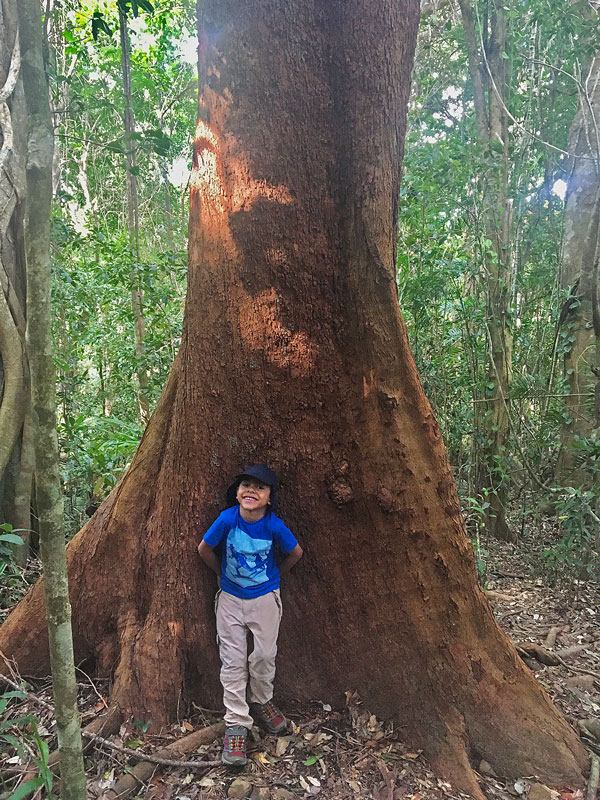
The trail starts in a lowland rainforest valley, featuring trees with large buttress roots and a canopy woven with large woody vines. As you ascend steeply, the trail moves into upland rainforest and the stout, feather-leafed palm becomes more common.
Look for Boyd’s forest dragons perching on trees quite close to the trail. On the ridge the vegetation is dominated by acacias (wattles). The wind-sheared forest canopy becomes lower and more open towards the mountain summit.
This is a rough, steep climb and you could expect to take at least 5 to 6 hours for the return walk to the summit.
Guide to the Mount Sorrow Ridge Trail

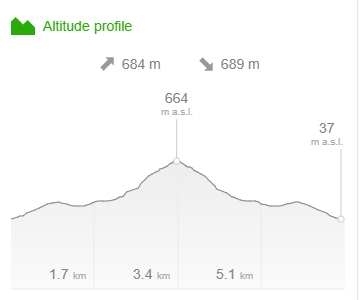
Distance – 7km return
Time – 5 to 6 hours return
Elevation – 715m
Grade – Difficult
Track – Out & Back
Location – Daintree National Park
Start/Finish – Rykers Road
Gradient – Very steep
Quality of path – Formed track, some obstacles
Quality of markings – Sign posted
Steps – No steps
Experienced required – Bushwalking experience recommended
Mount Sorrow Walking Track Map
_____________
Parking for Mount Sorrow Ridge Trail
_____________
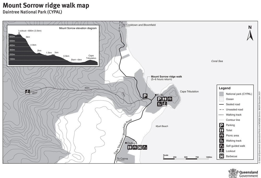
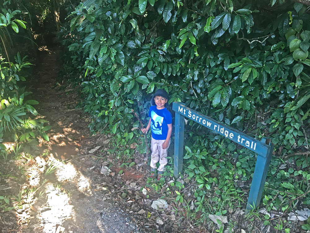
The Mount Sorrow walk starts 150m north of the intersection of the Bloomfield Road and turnoff to Kulki at Cape Tribulation. There is a small carpark next to the national park sign and the track commences across the road in a creek gully. The trailhead is signposted but is difficult to see, as it starts by a culvert near the road.
Directions for Mount Sorrow Ridge Hike
_____________
The trail, which is shaded by a thick lush rainforest canopy, follows a spur from the edge of the road up the first hill then descends gradually, winding across a saddle through groves of Licuala palms.
It climbs a second small bluff then descends slightly before the serious climb begins. The steep spur you are about to climb can be glimpsed occasionally through the trees ahead.
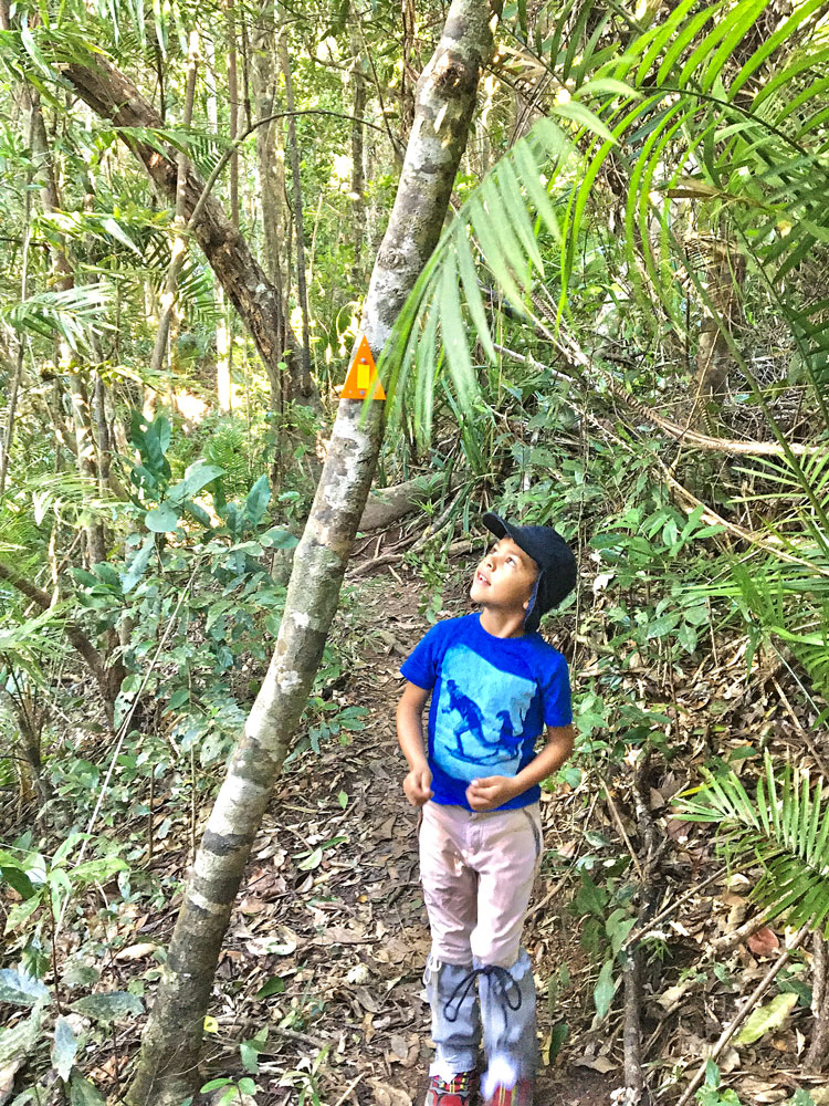
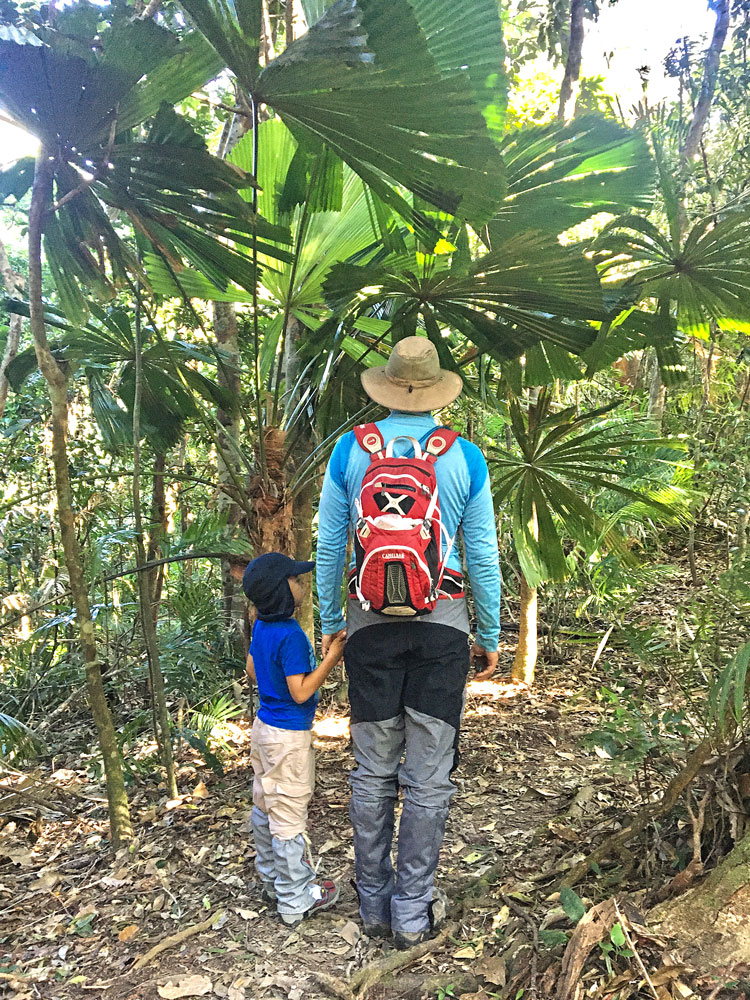
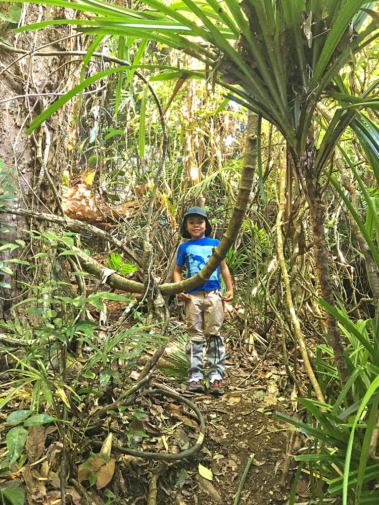
Beyond the second bluff the spur starts to narrow and the trail becomes rougher, winding between the south and north side of the spur. This is the toughest section of the climb, and it continues to get steeper and rockier until the trail swings gradually northwest along the spur.
From this point it is still a tough climb, but it is not as abrupt as the previous section.
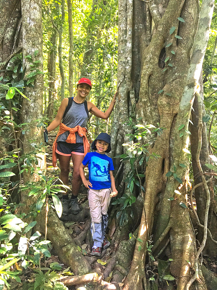
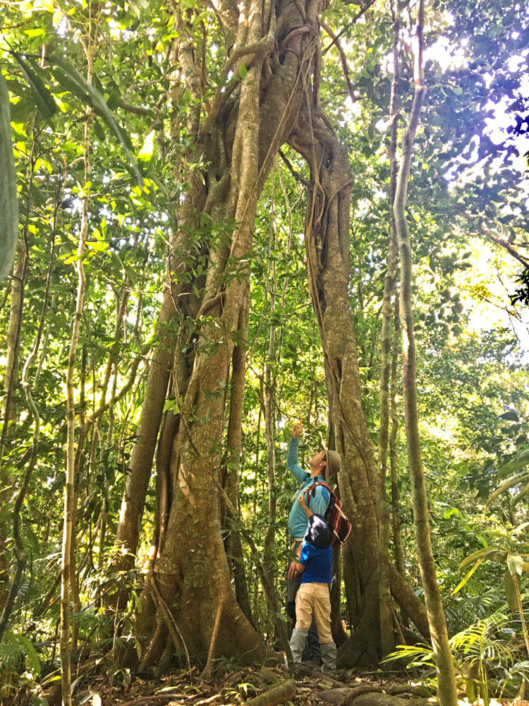
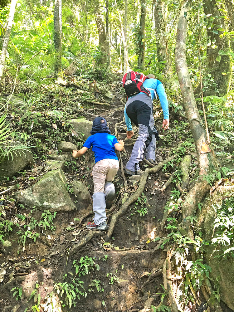
At this higher altitude the vegetation begins to change. Tall rainforest gives way to shorter, gnarled, wind-blown cloud forest where palms and trees are draped with epiphytes and moss. The rocky terrain is strewn with ground lilies, cycads and ferns. This is the enchanting part of the walk.
The Lookouts
A “proper” lookout has been constructed to minimise the likelihood of you plummeting to your doom although it’s not in the best position and is occasionally overgrown. The better lookout is a couple of hundred metres along the rougher trail that continues past the lookout to a precipitous rock ledge. Don’t bother if you are prone to vertigo or clumsiness. This is why there is a “proper” lookout!
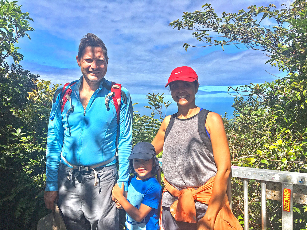
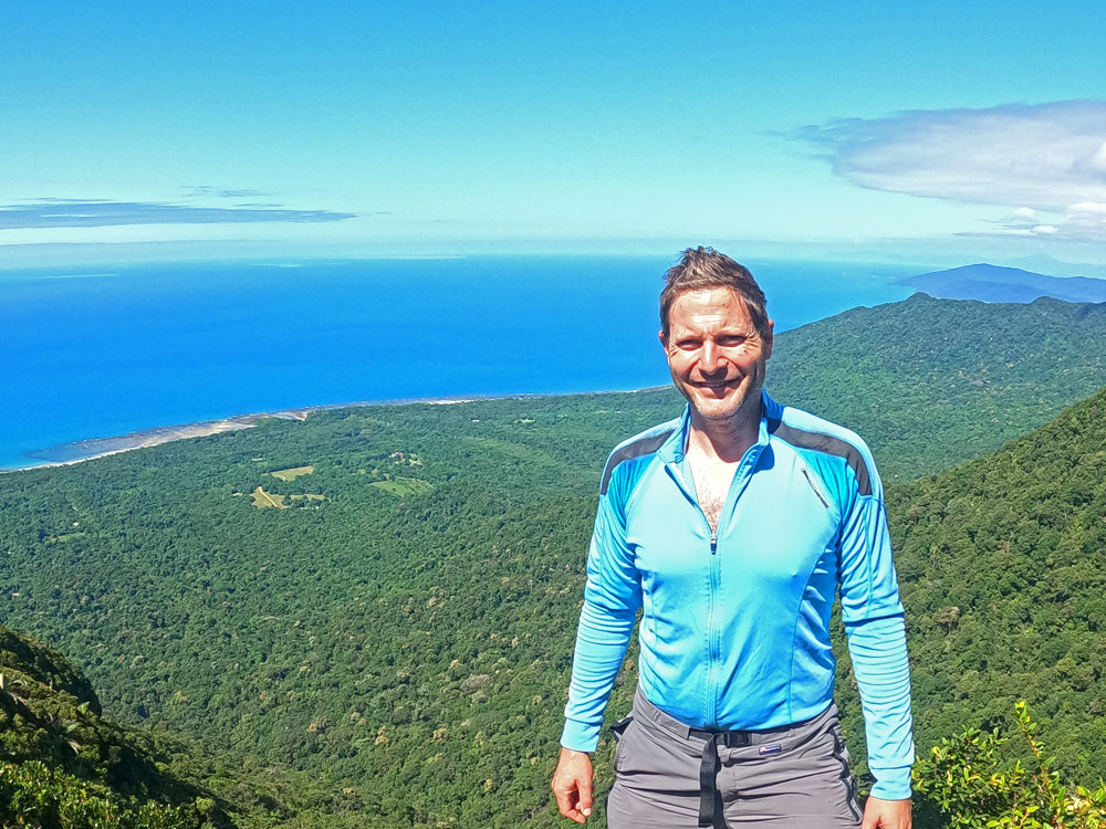
If you plan to continue to the “better” lookout, follow these directions and take care. The trail levels out and swings west along a very narrow ridge – about one metre wide – with a steep drop on both sides. It curls around trees and boulders and advances through a Tolkein landscape to a lookout on top of a cluster of boulders.
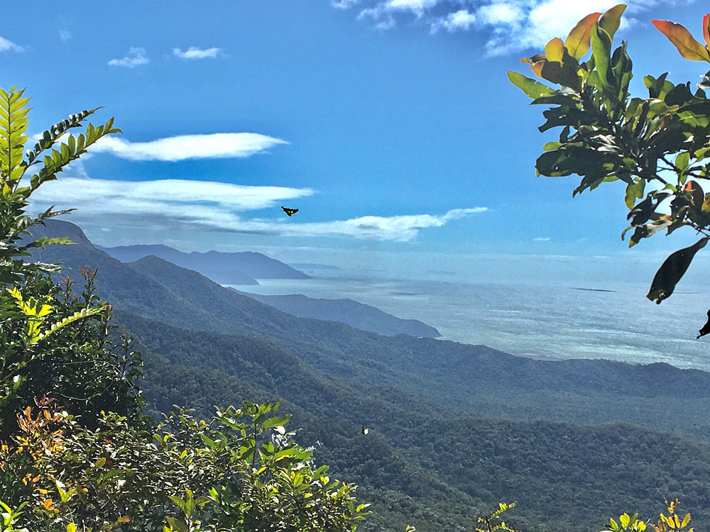
From the lookout spangled drongos and small flocks of topknot pigeons can be observed in the air, while a variety of butterflies drift around on the wind. On a clear day, the beautiful Daintree coastline can be seen stretching southwards to Snapper Island and beyond, and the shadows of the individual reefs that make up the Great Barrier Reef can be glimpsed in the ocean.
In Conclusion
_____________
I believe that the Mount Sorrow ridge trail should be on every hiker’s bucket list if they’re visiting or live in Far North Queensland. It’s such an iconic hike in beautiful Cape Tribulation, where the rainforest meets the reef.
With stunning vistas out to the Coral Sea and the chance to walk through beautiful tropical rainforest, a hike couldn’t get better than this. This is a hiker’s dream walk.
I love to hear from my readers. Are you planning to hike the Mount Sorrow ridge trail? If you do complete it, please let me know your thoughts. What did you like and not like about the climb? Leave your comments below.
