Share this post
The Green Arrow Cairns walk is possibly my favourite of the four Arrow trails located in Mount Whitfield Conservation Park.
What I like most about this hike is the picturesque walk through spectacular rainforest and open forest. The trail also boasts some of the best views of Cairns from anywhere. This is why I have it listed in my post 101 Fun Things to Do in Cairns.
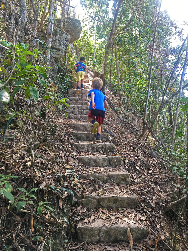
If you’re planning on hiking the Green Arrow, carry on reading for all the details you need to know to complete this hike. You’ll find hike statistics, maps and directions in addition to many lovely pictures of my family hiking this route.
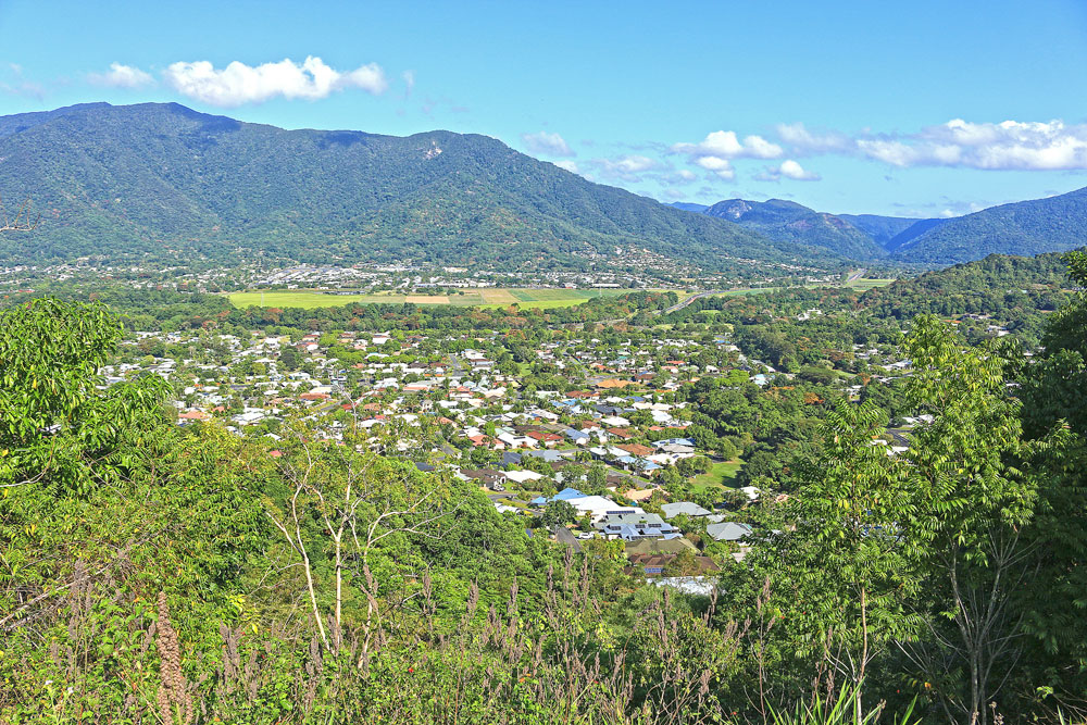
Table of Contents
_____________
1. Interesting Facts About the Green Arrow
2. Highlights
3. This hike is best for …
4. Best Time to Hike
5. Guide to the Green Arrow Walk in Cairns
6. Green Arrow Cairns Map
7. What is the Best Way to Walk the Green Arrow Circuit?
8. Directions for Green Arrow Walk to Mount Whitfield
9. Mount Whitfield National Park Map
10. In Conclusion
Interesting Facts About the Green Arrow
_____________
- The Green Arrow Walk follows the ridge line of Mount Whitfield taking you to the highest point on the Whitfield Range
- It’s the longest of the four Arrow trails in Mount Whitfield Conservation Park
- The walk is along an unsealed track with a few steps and roots to consider
- This trail is a little less frequented than other trails in the Conservation Park
- It’s also less noisy than the other Arrow trails due to the greater distance from the airport
Highlights include
_____________
- Lovely views of Cairns suburbs and up to the Atherton Tablelands
- No experience required, so anyone can tackle this trail
- A combination of beautiful lush rainforest and open forest
- Bush animals including brush turkeys, scrub fowls, monitor lizards and more
This hike is best for
_____________
- A quiet walk in nature
- A longer walk in Mount Whitfield National Park
- Less incline, more undulating walk
- Trail running
- Lovely views of Cairns’ western suburbs – Brinsmead and Redlynch Village
Best Time to Hike the Green Arrow Cairns Circuit
_____________
The trail is open year-round and is beautiful to visit anytime. The Green Arrow track is shaded by tall vegetation so it doesn’t get hot even in the middle of summer.
Guide to the Green Arrow Cairns Walk

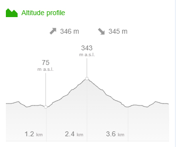
Distance – 7.3km return
Time – Allow about 3hr walking time
Elevation – 422m
Grade – Moderate
Track – Out and Back
Location – Mount Whitfield Conservation Park
Start/Finish – Peak Estate, Bel Air Drive
Gradient – Undulating hills
Quality of path – Unsealed track
Quality of markings – Not clearly sign posted
Steps – A few steps
Experienced required – No experience required
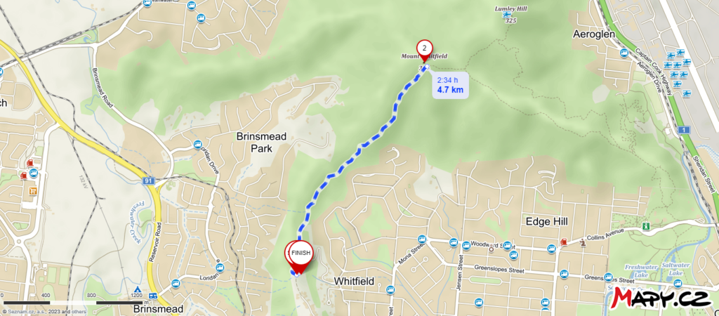
Green Arrow Cairns Map
_____________
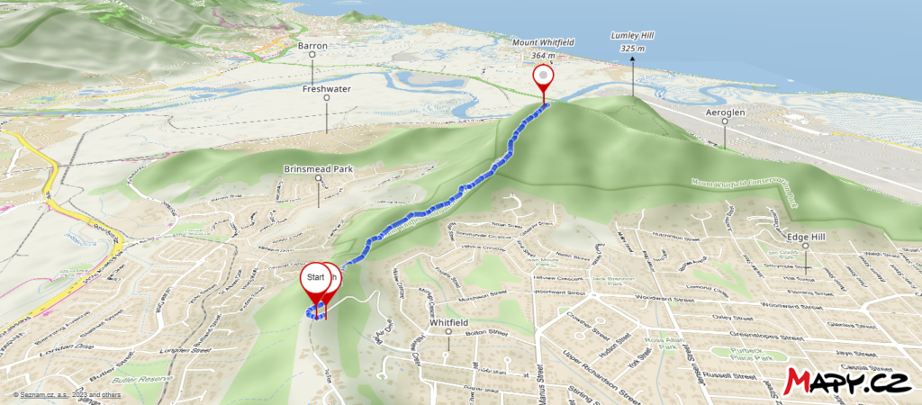
What is the Best Way to Walk the Green Arrow?
_____________
The Green Arrow Walk can be done from either end. I’ve done it both ways.
The easiest and shortest route is to start from Peak Estate on Bel Air Drive and continue to the top of Mount Whitfield before retracing your steps back.
The alternate route branches off the Blue Arrow Circuit which makes it a bit longer as you have to walk the Blue and Red/Yellow Arrows too.
See map at the end.
“YOU CAN CHOOSE WHICH WAY TO COMPLETE THE GREEN ARROW WALK.”
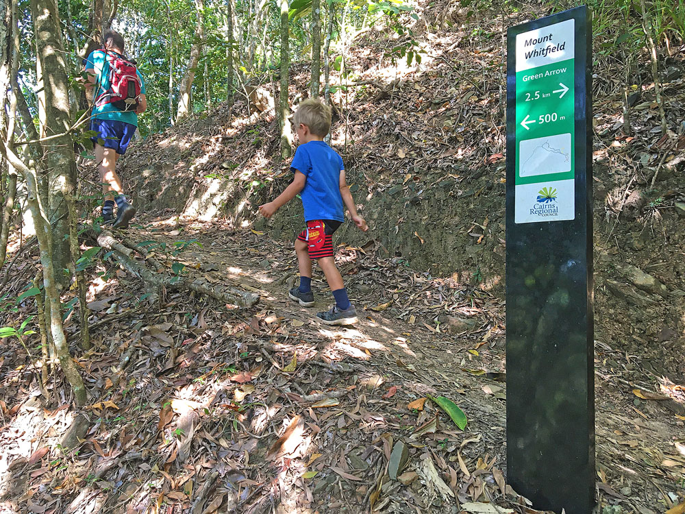
Directions for Green Arrow Cairns Walk
_____________
After driving into Peak Estate, you start the walk from the end of Bel Air Drive. Continue straight along the path for a few hundred metres until you get to the official starting point of the Green Arrow Walk.
Before you get to the gate which marks the starting point of the Green Arrow Walk, look to the left for some of the best views of Cairns from anywhere.
To the east, you have views over Trinity Bay and on a clear day to Green Island. To the west there are views over Brinsmead and the Redlynch Village to Chujeba Peak, Kahlpahlim Rock and Lamb’s Head on the Lamb Range.
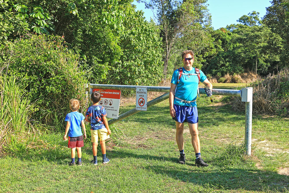
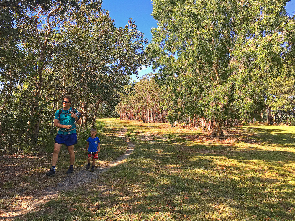
The trail follows the ridge line of Mount Whitfield through cleared land, open forest and finally through spectacular rainforest to reach the highest point on Whitfield Range – Mt Whitfield at 364m.
The trail starts off as an undulating track with lots of switchbacks. Halfway up, it becomes quite steep with lots of steps towards the top. The last 500m is relatively flat.
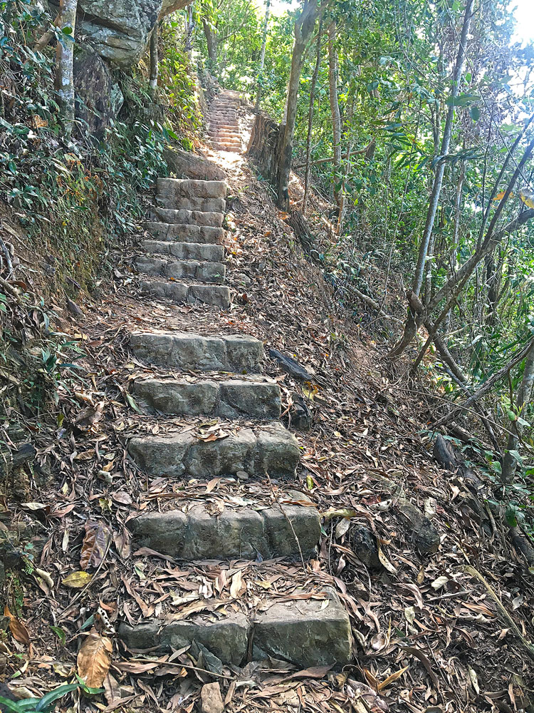

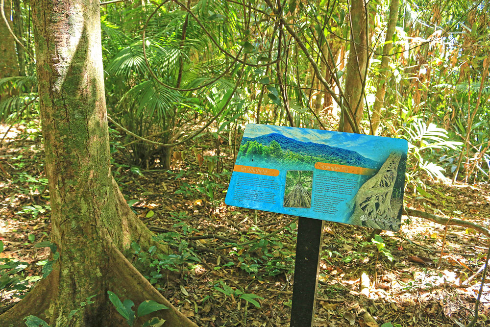
While the track is clear and easy to follow, there are not many signs along the way. Also, there’s no sign to indicate the top of Mount Whitfield except for an interpretive board.
The trail itself has good canopy cover, lots of shade and cool breeze. There are a few steep sections but most of it is very manageable if you pace yourself.
Once you reach the summit, you can continue for another 15 minutes along the Blue Arrow track to reach the lookout at Mt Lumley. Alternatively, you can turn around and head back down the same way you came.
Mount Whitfield National Park Map
_____________

In Conclusion
_____________
I’ve hiked the Green Arrow several times, both on its own and together with the Red and Blue Arrow trails. This hike never gets boring as there is so much to see along the way. While it’s long, it’s an interesting and challenging hike and one that I keep going back to for both fitness and time spent in nature.
If you’re looking for more fun things to do in Cairns, there’s many more enjoyable hikes around Cairns as well as other exciting activities and places to visit.
Have you hiked the Green Arrow Cairns circuit or are you planning to hike it soon? If so, I’d love to hear what you think about the route and what you liked best about it. Please leave your comments below.
