Share this post
Fit, experienced bushwalkers are lured to Mount Bartle Frere to bag Queensland’s highest peak at 1,622 metres. This physically demanding 15-kilometre rainforest trail is the most strenuous climb in Far North Queensland. It’s also one of the most rewarding things to do in Cairns if you’re an avid hiker.
It’s a mighty challenge to walk up the tallest mountain in Queensland but great fun for very fit, experienced and self-sufficient walkers. It’s steep and it’s tough, but anyone who has experienced a fine day atop Queensland’s tallest peak will say that exhilaration overcomes fatigue.
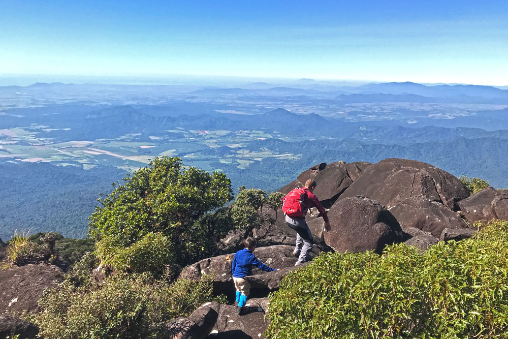
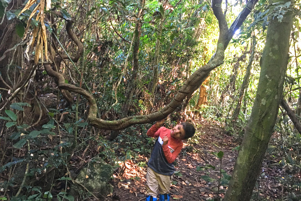
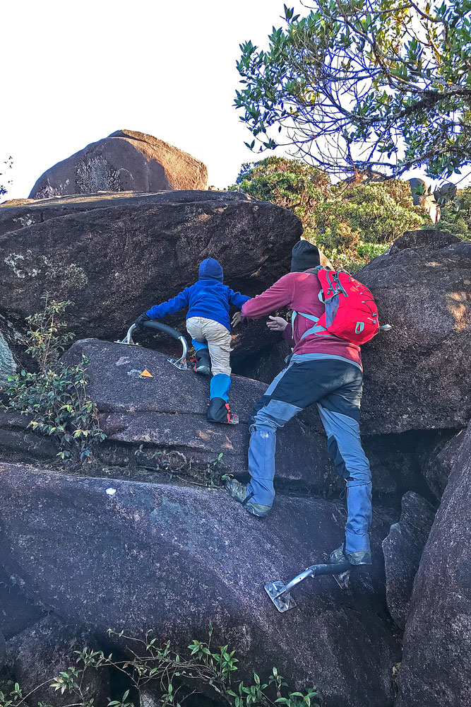
In 2022, I climbed Mount Bartle Frere with my 6-year old son. He completed the hike unassisted except for a couple of bouldering bits at the top. I believe that if he can climb Mount Bartle Frere, any fit and able-bodied adult can do it with the right training, planning and determination.
I’ve written this article to help hikers of all abilities to prepare themselves for a successful and enjoyable hike to the top of Mount Bartle Frere.
In this article, you will find all the information you’ll need to plan and organise your Mount Bartle Frere hike. From hike statistics, maps and directions to what to expect, pack and carry, you’ll be well briefed and raring to go by the end of this post.
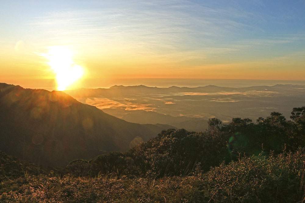
Table of Contents
___________
1. About Mount Bartle Frere
2. Tips for Climbing Mount Bartle Frere
3. Routes to Mount Bartle Frere Summit
4. An Overview of the Mount Bartle Frere Hike
5. What Can You Expect to See On the Hike?
6. What Kind of Weather Can You Expect?
7. Best Time to Hike Mount Bartle Frere
8. What to Pack for a Hike to the Summit?
9. Permits and Regulations
10. Best Route to Reach Mount Bartle Frere Summit
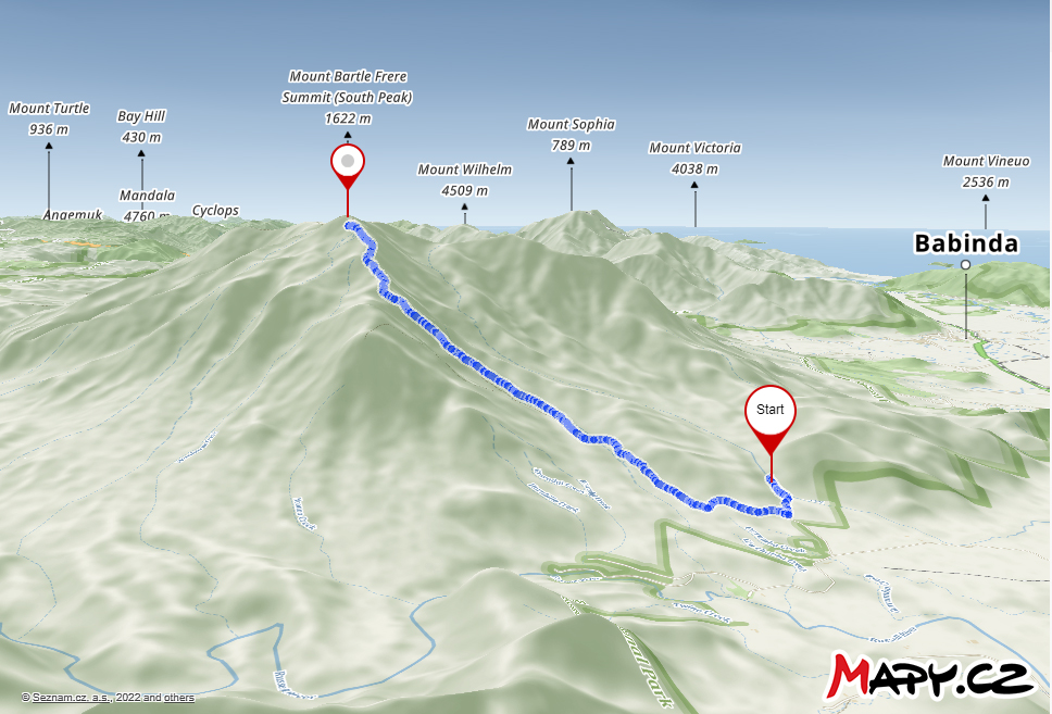
11. Mount Bartle Frere Hike Maps
12. Getting There and Parking
13. Directions for Mount Bartle Frere Hike
About Mount Bartle Frere
___________
- Queensland’s tallest mountain, Mount Bartle Frere, lies on the eastern edge of the Atherton Tablelands, towering 700 meters above the tablelands and 1,622 metres above sea level.
- Bartle Frere (1611 metres), in Wooroonooran National Park, is about 30 kilometres north-west of Innisfail and 77 kilometres south of Cairns in far north Queensland.
- The mountain has three main peaks; North West Peak, North Peak (Chooree Chullum) and the summit, South Peak.
- Explorer and adventurer, Christie Palmerston, was the first European to scale this lofty peak back in 1886.
- Today, you’ll follow a route pushed by gold miners and adventurers through rainforest, mountain heath and an extensive boulder field to the summit.
Tips for Climbing Mount Bartle Frere
___________
- One or Two Days – Many walkers stretch the experience over two days, camping at one of the two designated camping areas. But if you are super fit, it is possible to walk to the summit and back from either side. If you intend to do the walk in one day it can take 10-12 hours.
- Fitness & Experience – Don’t attempt the walk if you are not confident of your bushwalking abilities, and preferably don’t walk alone. Climbing a 1,622 metre mountain from near sea level is never easy, and attempting the return trip in one day is not recommended.
- Plan Ahead – Plan your trip and make sure to come prepared with everything needed for a day trip or an overnight stay. There’s no reliable water near Eastern Camp, so if a high camp is planned, water must be lugged up from Big Rock Camp.
Routes to Mount Bartle Frere Summit
___________
There are two ways to climb to the summit (South Peak) of Mount Bartle Frere.
- Via the Eastern Trailhead from Josephine Falls near Innisfail (14.5km, 1,491m elevation gain)
- Via the Western Trailhead from Junction Camp in Atherton Tablelands (15.1km, 1,207m elevation gain)
The following guide details the hike to the summit of Mount Bartle Frere via the Eastern Trailhead from Josephine Falls.
An Overview of the Mount Bartle Frere Hike
___________
- From Josephine Falls car park (100 m), it’s a relatively easy walk to Big Rock camp.
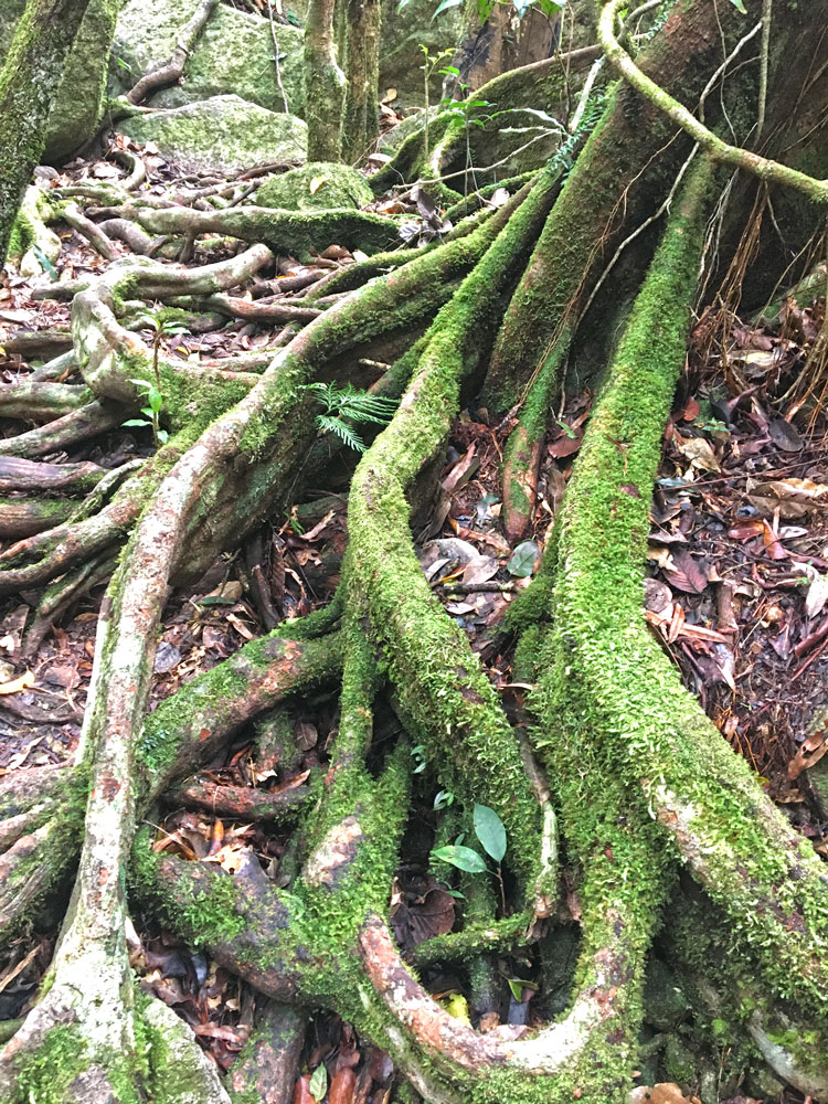
- From there you’ll climb – steeply rising for 1000 m over 4 km through the humid rainforest – dodging vines, clambering over rocks and tree roots to emerge from the canopy at one of Australia’s most remote and spectacular campsites, Eastern Summit camp.
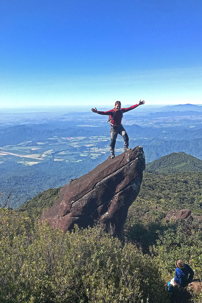
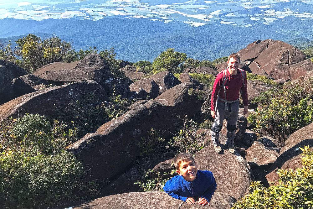
- The ascent from the campsite to the summit is an exciting scramble over huge boulders. From here, and from the campsite, there are 360 degree views of the Atherton Tablelands, Innisfail and the Great Barrier Reef.
- Return the same way.
What Can You Expect to See On the Hike?
___________
Mount Bartle Frere sits inside Wooroonooran National Park, a remote haven that’s off the beaten tourist tracks and part of the World Heritage-listed Wet Tropics region. This is a land of wild rivers and ancient, mystical mountain massifs blanketed by 140-million-year-old rainforests.
Mount Bartle Frere is covered in tropical rainforest that grows from its foothills to the summit. Growing continually since our island continent was connected to Gondwana, they contain an almost complete record of the evolution of plant life on earth. As you start hiking, you will see large-leafed, large-trunked plants which will eventually give way to stunted, closed-canopy plants towards the summit.
The summit of Mount Bartle Frere is very craggy and forest grows only in the lee of rocks. Elsewhere on the tops, wind prunes the vegetation. Most obvious is the steady decrease in the height of the trees.
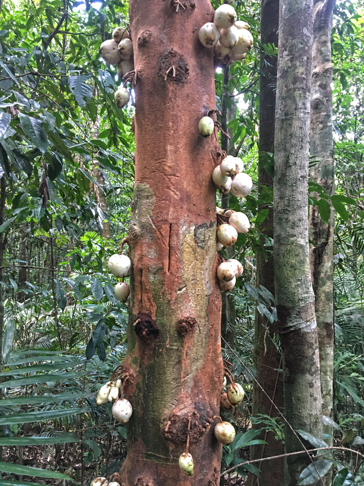
Flora
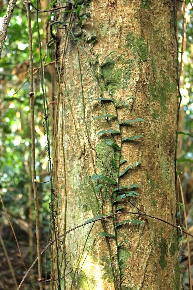
A vast number of plant species, including epiphytes and ferns, have been recorded in the park. Near the summit there is low scrub and a little open grass. Vines are common, particularly on open patches of hillside rainforest.
The blue egg-shaped fruit on the track is from grey milkwood trees. Be warned – most rainforest fruits are toxic in their natural state!
Fauna
Aside from plants, many wildlife species are also unique to the region. If you’re lucky, you might spot a golden bowerbird that can be found only in rainforests at altitudes above 900m. Look out for their bowers which they build out of sticks, one pile higher than the other and joined by a branch forming a display perch. The bower may be up to 3m high, and contrary to their southern cousins who decorate in blue, these male birds prefer yellows and creams. Rare orchids are a favourite – a sure way to attract a bird!
It’s not only plants that grow huge up here. Keep an eye out for giant moths (some with 25cm wing-spans), 20cm caterpillars and frogs, and scrub pythons up to 8m long (the world’s fourth-largest snake) that thrive in the lush, fertile conditions here.
On a prettier note, bright butterflies, including the brilliant blue Ulysses butterfly, may flit past you on the track.
What Kind of Weather Can You Expect?
___________
Mount Bartle Frere is Australia’s wettest place, where annual rainfalls around 10m have been recorded. This heavy rainfall could often reduce visibility to less than 10 metres. The mountain is also subject to sudden, extreme changes of weather conditions.
Always check the weather conditions before hiking. Even in the tropics walkers need to be prepared for all conditions because rainstorms, freezing winds and clouds may envelop the upper ridges of the mountain at any time.
Best Time to Hike Mount Bartle Frere
___________
May to September is drier and the best time to walk, while the Wet Season (October to March) is extremely hot and humid and best avoided.
The trail may be closed during the wet season, between December and April. Majuba Creek rises and falls very quickly, often forcing track closures. Leeches are also aplenty when it’s wet.
What to Pack for a Hike to the Summit?
___________
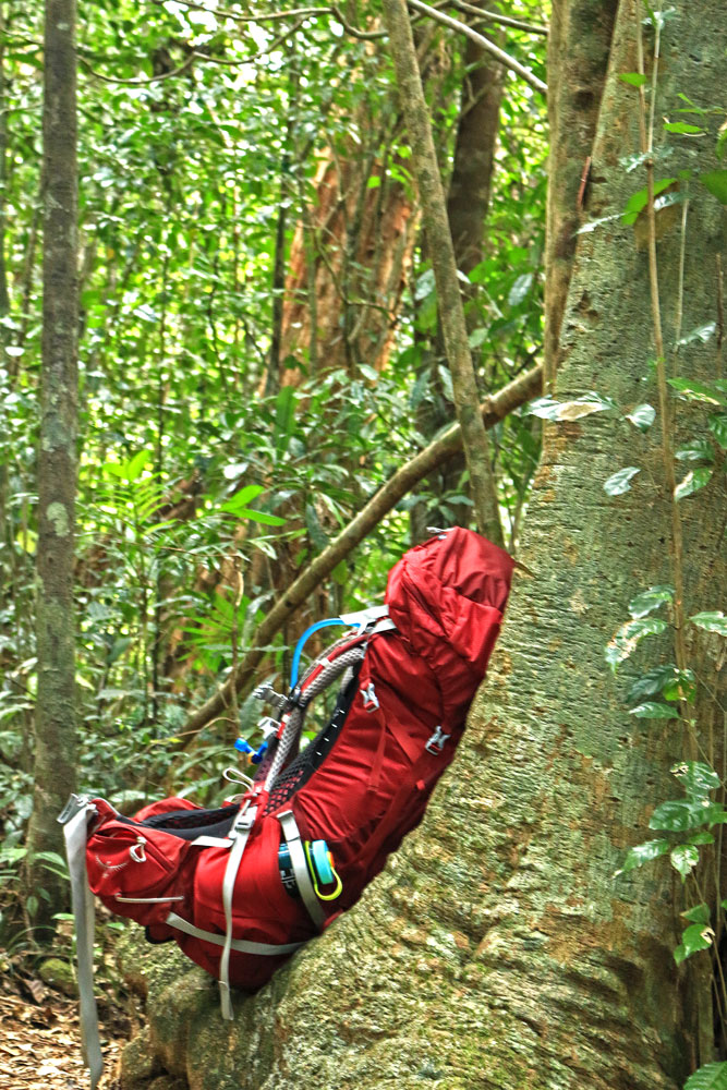
The weather is unpredictable on Mount Bartle Frere, to say the least. A sunny day at the bottom of the range can often deteriorate to wet, windy and freezing conditions at the top.
Remember that the upper spurs of the peak can cloud in at short notice and sudden thunderstorms are common.
Go prepared for a possible rainstorm or fog and also wear clothing that covers your body well as both nettles and a very nasty stinging tree grow beside the climbing route. The stinging tree, Dendrocnide, has large leaves and its sting lingers for many weeks. Little can be done to be rid of its sting effects, except keeping the sting area dry.
Packing List for a Day Trip
For a day trip you’ll need the following.
- map
- compass
- first aid kit
- wet weather gear
- warm jacket
- food
- 2 to 4 litres of water per person
- mobile phone in case of trouble*
* Mobile phones usually work on the high exposed points of the mountain.
Leeches are always lurking so use a good tropical strength bug spray on your shoes.
Packing List for an Overnight Stay
In addition to the above items, an overnight camper will need to include
- a full camping kit suitable for cold conditions,
- extra food and water in case you are stranded by adverse weather, and
- a change of warm dry clothes.
Before you leave, arrange with someone to confirm that you have returned at a pre-arranged time.
Permits and Regulations
___________
There are two camping spots along the Eastern Trailhead – Big Rock and Eastern Summit.
Walkers intending to camp overnight on Mount Bartle Frere are expected to book a camping spot in advance. Book camping permits online with the QPWS. There’s no camping at Josephine Falls car park. Fuel stoves are mandatory.
All walkers should fill out the bushwalkers registration form. There are two checklists on the registration form that outline the essential equipment and urge commonsense.
Best Route to Reach Mount Bartle Frere Summit
___________
There are three different ways to reach the summit of Mount Bartle Frere and how you do it depends on your fitness level. Many people underestimate the hike to the summit as did we. You need to be realistic of your fitness level when you decide which option is right for you.
One Day Hike
If you’re a highly fit and experienced bushwalker, the best way to hike to the summit of Bartle Frere is in one day. Start very early in the morning, preferably before dawn, and carry a daypack with enough food, water and wet weather gear. Give yourself 10-12 hours to complete the return trip.
Two Day Overnight Stay
If you’re unsure whether you can hike 14.5km and climb 1,491 metres in one day, then a two-day option is for you. There are two ways you can do this.
- Hike to Eastern Summit Camp on Day 1 with a backpack for overnight camping. Then hike to the summit on the morning of Day 2 and back down to Josephine Falls.
The downside to this option is that you will be carrying a heavy backpack to Eastern camp which will make the hike even more difficult. Nevertheless, this is the most popular option for the majority of hikers.Day 1: Josephine Falls Car Park to Eastern Summit Camp6 hours, 7km, 1200m ascentDay 2: Eastern Summit Camp to Bartle Frere Summit & Josephine Falls Car Park6 hours, 8km, 300m ascent, 1500m descent - Alternatively, walk 3km to Big Rock Camp on Day 1, with an optional climb to Broken Nose and back to Big Rock camp for the night. There are often great views from this 962m peak, even when the summit’s cloudy. On Day 2, hike to the summit of Bartle Frere and back down to Josephine Falls car park.
The advantage of this option is that you won’t be carrying a heavy backpack along the steepest section. The downside is that Day 2 will be much longer as you will have to climb to the summit and back down before the rainforest canopy forces an early shutdown. If you don’t think you can make it, you can always plan to camp at Big Rock for the second night.Day 1: Josephine Falls Car Park to Big Rock Camp & Broken Nose6 hours, 7km, 860m ascent, 460m descentDay 2: Big Rock Camp to Bartle Frere Summit & Josephine Falls Car Park10 hours, 12km, 1,100m ascent, 1,500m descent
Guide to Mount Bartle Frere Hike –
via the Eastern Trailhead from Josephine Falls

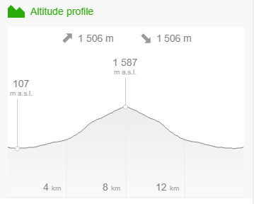
Distance – 14.5km return
Duration – 1 to 2 days
Elevation – 1,491m
Grade – Extremely Difficult
Track – Out & Back
Location – Wooroonooran National Park
Start/Finish – Josephine Falls Car Park
Gradient – Very steep
Quality of path – Formed track, some obstacles
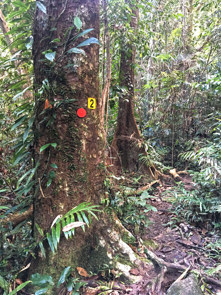
Quality of markings – Sign posted
Steps – No steps
Experienced required – Bushwalking experience recommended
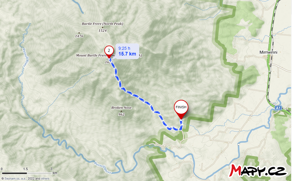
Mount Bartle Frere Hike Maps
___________
Getting There and Parking
___________
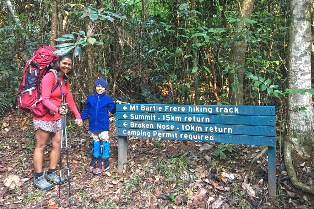
- To reach the start of the Bartle Frere climb, travel south on the Bruce Highway from Cairns for 68 km, then turn south-west just south of Miriwinni up the valley of the Russell River.
- Some 7.5 km from the highway, at the end of the sealed road is a park ranger’s house, picnic area and start of two trails.
- One trail leads north to Josephine Waterfalls and the other leads north-west to the Bartle Frere summit. Park in the carpark there.
Directions for Mount Bartle Frere Hike
___________
1. Josephine Falls to Big Rock Campsite
2 hours, 3km, 400m ascent
The walk from Josephine Falls picnic area to Big Rock campsite is relatively easy, with only a moderate climb (rising 400 m over 3 km). Many campers choose to leave their overnight packs at Big Rock camp and carry only day packs to the Bartle Frere summit.
The climb starts at the road end near the ranger’s house and the well-defined track immediately enters lowland rainforest. It leads to both the peak and a rocky outcrop lookout known as Broken Nose.
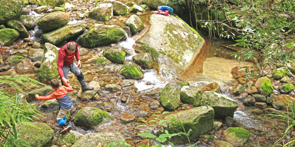
Initially the trail leads north-west over a small rise, then basically contours, crossing a host of tiny streams until Majuba Creek First Crossing is reached 2 km from the start. As with all of the route, progress will be slow due to rough terrain and vegetation overhanging the small trail. At the boulder-choked bed of Majuba Creek it is necessary to cross the fast-flowing stream and care needs to be taken.
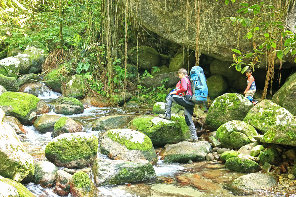
The trail should then be followed on to and up a spur on the Majuba Creek-Kowadgi Creek divide to a second crossing at Majuba Creek Second Crossing. Cross a jumble of mossy boulders to a clearing in a rainforest glade at Big Rock Camp. This spot is about 400 m elevation and some 3 km from the start of the walk.
A bright, sunny day often ends with a sudden squall, so if you’re making camp set up beside the permanent creek before setting out for Broken Nose or Bartle Frere summit.
At this crossing a steep trail heads off left uphill to Broken Nose.
2. Big Rock Camp to Eastern Summit Camp
5 hours, 4km, 1000m ascent
This section is a steep climb (rising 1000 m over 4 km). The remains of an old mine are 100 m off the trail at Eastern Summit camp, but take care as the descent to the mine is steep. There is a camping pad at Eastern Summit camp that you are encouraged to use to reduce impacts on the environment.
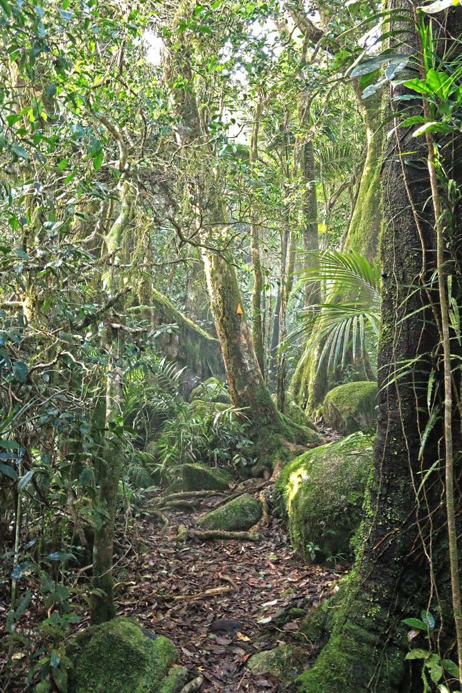
For the next 1.5 km there is a very steep, rough ascent rising on a pronounced spur to 1000 m. Then the trail swings more north and continues up the spur. Occasionally glimpses of the sea and distant slopes occur, but mostly rainforest continues as the main point of interest.
After passing over a knob on the main spur 3 km from Majuba Creek Second Crossing, more open vegetation occurs and a rocky black boulder-strewn slope looms ahead.
Collect water for the return trip, cross the creek and head steeply uphill. The track climbs between boulders and a muddy bank, then winds uphill to crest a spur. It passes close to the edge where there are views into the creek bed, then swings sharply right and almost levels out, making the walking pleasant.
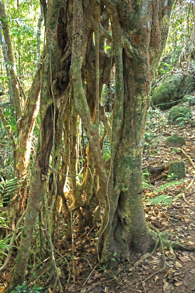
After passing rounded granite boulders look for a massive Johnson River satin ash on the right with roots from a strangler fig snaking their way down the trunk. In 50 years or so, they will almost eungulf this tree.
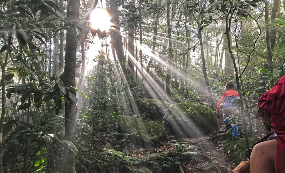
The gradient lessens near the 4km point and the narrow ridge drops off steeply on both sides. Exposed tree roots aid the climb when you reach a steep 3m mud bank. Continue up the ridge, taking care on tree roots crisscrossing the track. At a massive granite boulder, the track swings left and continues uphill.
The climb is unrelenting until you reach a U-shaped gully on the right, filled with helmholtzia lilies. You may cop a blast of cold sea air whipping up the gully. After another slog uphill, the track levels slightly near large orania palms. Tree roots crisscross the track as you approach drier forest, before reaching a helipad on the ridge top. (This has been used for several rescues of injured or lost bushwalkers.)
In the small saddle before the boulders, a small trail leads left downhill to the exposed Eastern Camp. It is only about 200 m down to the camp spot if you wish to visit it or camp for the night. For daytrippers, lunch is recommended in this general locality so as to enjoy the views and to have a spell during climbing.
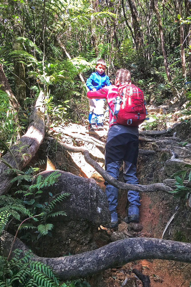
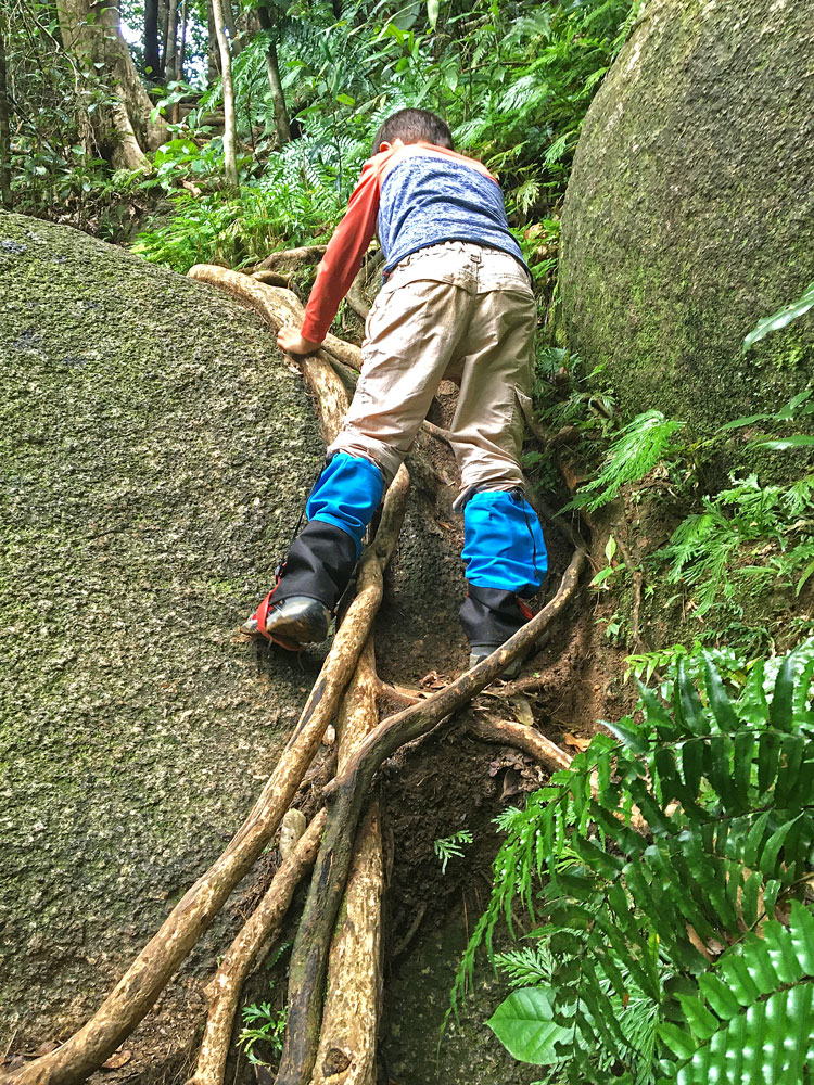
3. Eastern Summit Camp to Bartle Frere Summit
1 hour, 650m, 300m ascent
The final ascent (rising 300 metres) to the broad summit of Bartle Frere requires scrambling over boulders and can be slippery when wet.
Follow an eroded path uphill through low heath to the start of a massive lichen-stained boulder field. The black boulders have painted orange arrows on them to facilitate navigation. A good deal of awkward rock-hopping is required. Extreme care is required – especially if the rocks are damp. For your safety, occasional stainless steel grip bars have been bolted to the boulders to help you through the boulder field.
Enjoy fabulous views over the township of Innisfail and the coast to the east. To the west you will see the undulating landscape of the Atherton Tableland. From October to December, you may see striking red flowers of Australia’s only native rhododendron.
A second crest is then reached and a fairly level short stretch needs to be followed before attempting the final ascent. The way rises and veers right towards a gully, then turns north-west and rises further very steeply up the gully to the peak top.
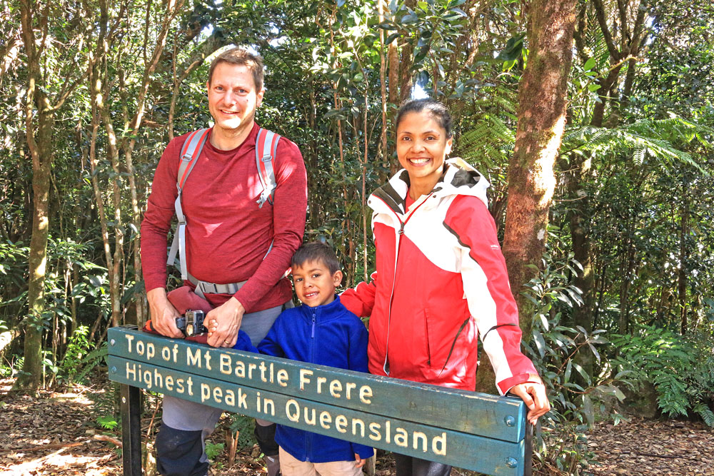
Although views so far will have been good, the actual top has no view due to small trees. The trail leads west 150 m slightly downhill to the main lookout area. This lookout point is some 7.5 km from the walk start.
From the summit, hikers can either retrace their steps back to Josephine Falls or continue on to Junction camp (on the western slopes of Bartle Frere).
Alternative Route: Big Rock Camp to Broken Nose Summit Return
Distance: 8 km, 6 hrs return, hard (strenuous), marked route
Top up water at Majuba Creek crossing then begin an ascent along a narrow, rocky track following a narrow ridge towards Big Rock campsite on Majuba Creek.
A signposted track leads steeply uphill past the trunk of a stately red cedar that lost its crown during a 2005 storm. The track continues uphill below a dense rainforest canopy following and climbing a spur between Majuba and Kowadgi creeks.
There is an elevation gain of about 400 m over 2 km between Big Rock camp and Broken Nose (allow about 2 hrs) and there is no water along this section.
The route swings sharply to the south along another spur to Broken Nose at 962 m. At Broken Nose, there’s an exposed, flat rocky overhang with views across Russell River Valley. Care is definitely required.
After enjoying the view, retrace your steps to the campsite. It will take about a 3-4 hr return hike from Majuba Creek.
In Conclusion
___________
The Mount Bartle Frere hike was the hardest, most challenging climb I’ve ever done till date. I did carry a very heavy backpack which added to the difficulty. However, the thrill of reaching the peak of Queensland’s highest mountain more than made up for the pain and anguish felt during the tough climb. This hike will forever remain in my memory as one of the best hikes I’ve done in Queensland.
I hope this article has provided you with all the information you need to plan and organise your next Mount Bartle Frere hike. It’s no easy feat getting to the top (and then back down again) but the feeling of accomplishment and esctacy you get from reaching the top makes up for all the hard work along the way.
Plan well and train hard before your climb and you will not only succeed but enjoy this climb tremendously.
If you’re looking for more adventurous things to do in Cairns, there’s many more enjoyable hikes around Cairns as well as other exciting activities and places to visit.
I love to hear from my readers. Have you done the Mount Bartle Frere hike? Please let me know what you loved most about this climb. Were there any challenges you faced along the way? Please leave your comments below.

[…] Mount Bartle Frere Hike: The Ultimate Guide You Need […]