Share this post
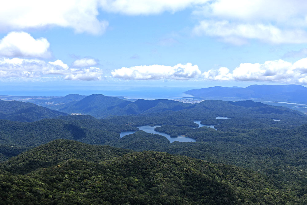
Located in Dinden National Park near Mareeba, about 60 kilometres from Cairns, the Kahlpahlim Rock and Lambs Head hike is an excellent and varied walk that should be on every hiker’s bucket list. Along the trail, you’ll experience various different landscapes and terrains with magnificent 360-degree views of Cairns and beyond at the peak.
“A WONDERFUL WALK TAKES YOU TO THE TOP OF KAHLPAHLIM ROCK WITH MAGNIFICENT 360-DEGREE VIEWS OF CAIRNS AND SURROUNDS.”
What is Kahlpahlim Rock?
__________
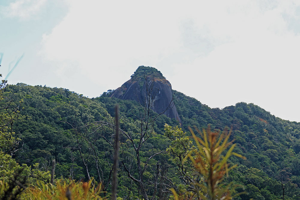
Kahlpahlim Rock, which sits at an elevation of 1,309 metres above sea level, is actually the highest point on the Lamb Range. It is a group of separate, massive granite tors extending along the ridge line in a generally east-west orientation. The sheer size and shapes of the rocks are impressive.
Highlights
__________
- Explore Dindin National Park in the Atherton Tablelands
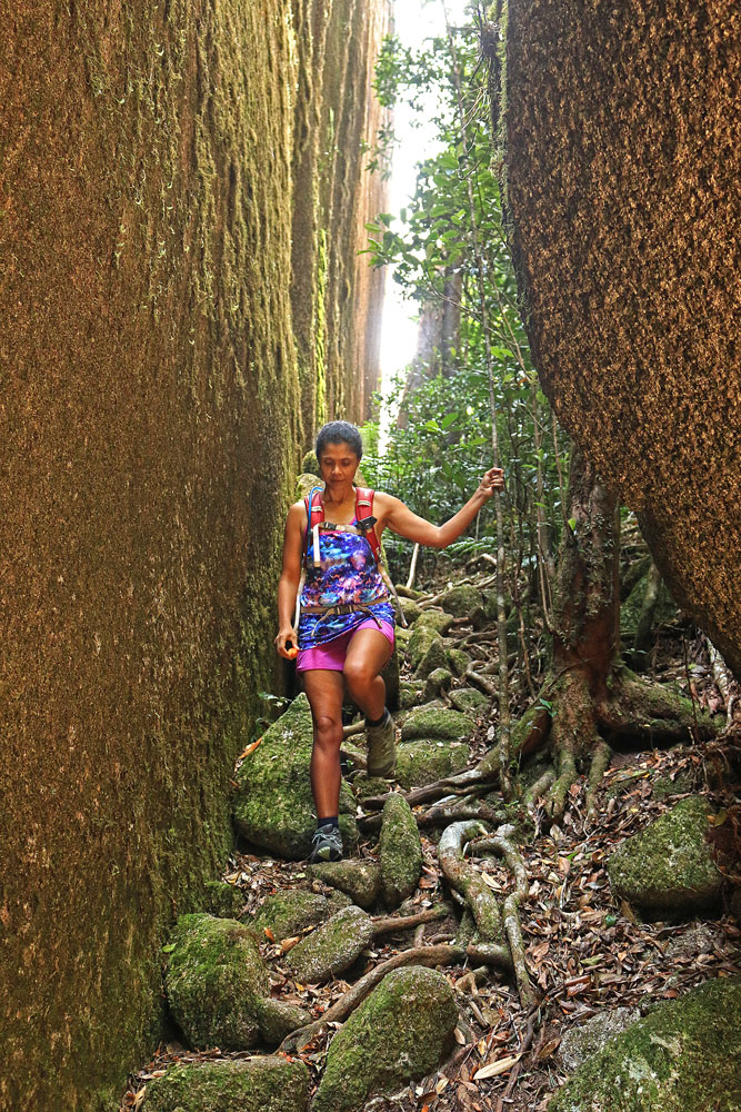
- Hike through different landscapes and terrains
- Close-up views of Kahlpahlim Rock and Lambs Head
- Beautiful 360-degree views of Cairns and its surrounds
- Wildlife sightings
This hike is best for
_____________
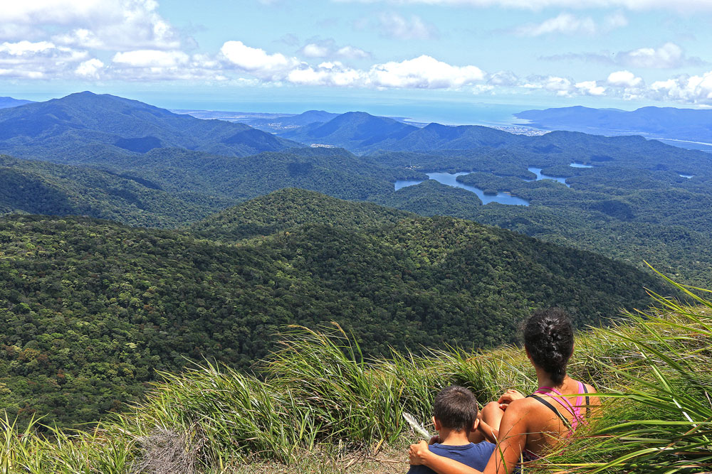
- Stupendous, 360-degree views
- Exploring different landscapes and terrains
- A steep, long hike; not for the faint-hearted
- Some rock scrambling at the top
Best Time to Hike Kahlpahlim Rock and Lambs Head
_____________
The best time to hike Kahlpahlim Rock and Lambs Head is between September and November and be sure to start early and allow ample time to return. Choose another day if the mountain is covered in cloud or during wet weather.
As water is not available along the trail, carry at least 2-3 litres of water per person.
Kahlpahlim Rock and Ridge Trails
_____________
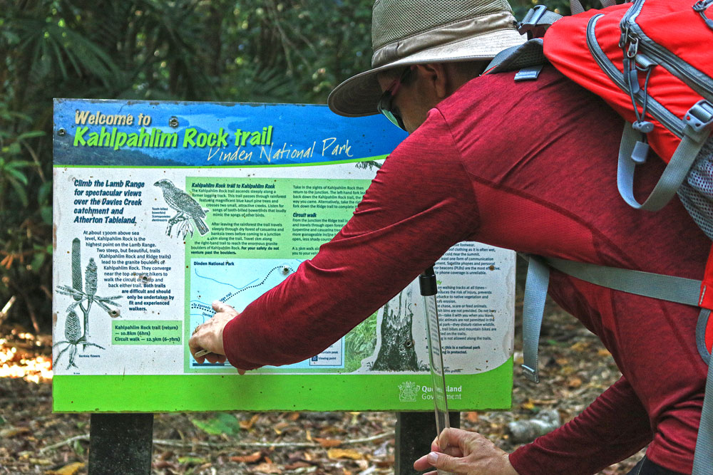
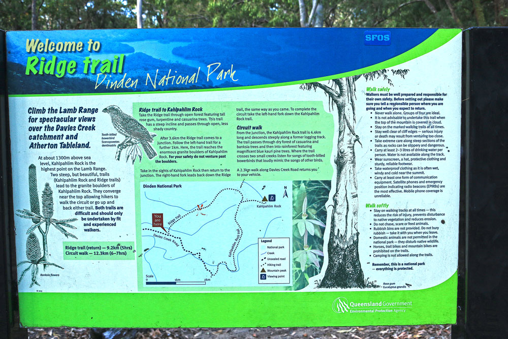
Two steep but beautiful trails (Kahlpahlim Rock and Ridge trails) lead to the granite boulders of Kahlpahlim Rock. They converge near the top allowing hikers to walk the circuit or up and back either trail.
Both routes are identified with orange trail markers. Both trails are difficult and should only be undertaken by fit and experienced walkers. This strenuous 10-kilometre return walk takes at least 6 hours to complete, so start early.
Which Route Should You Take?
There are three route options. Each has its own pros and cons.
- Ridge Trail return – 9.2 km (5 hrs)
The first trail, which climbs to the Rock via a dry forested spur, starts 4.9 km from the Davies Creek Falls car park. It’s steep and exposed but has a shorter trail. - Kahlpahlim Rock trail return – 10.8 km (6 hrs)
The second trail, which climbs through rainforest, starts 6.2 km from the Davies Creek Falls car park. While longer, it is less steep, sheltered and takes you through a varied landscape. - Kahlpahlim Rock Circuit walk – 12.6 km (6-7 hrs)
Hike up one trail and down the other for a loop walk. This involves walking along the road for 2.3 km at the end of the hike.
My Experience
_____________
The route we took to climb to Kahlpahlim Rock and back was the Circuit walk. We went up the Kahlpahlim Rock trail and returned on the Ridge trail. This was a mistake on our part as the Ridge trail was steep on the way down and exposed to the sun.
My Preference
_____________
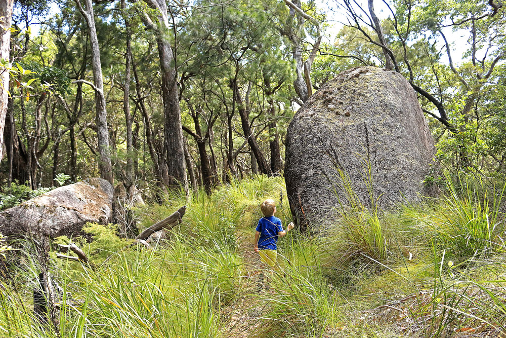
Of the two trails, the Kahlpahlim Rock trail is far superior to the Ridge trail. The Kahlpahlim Rock trail takes you through beautiful rainforest and grasslands, past creeks and boulders. It is less steep and the rainforest provides plenty of shade from the sun.
My Recommendation
_____________
For those who want to do the Circuit walk and experience both trails, I would recommend going up the Ridge trail and returning on the Kahlpahlim Rock track instead.
For those who just want to get up to Kahlpahlim Rock and don’t mind either way, I would suggest taking the Kahlpahlim Rock trail there and back. It is a longer but easier track.
Guide to Kahlpahlim Rock and Lambs Head Hike

Kahlpahlim Rock Circuit Walk
_____________
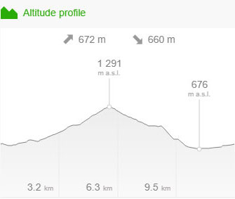
Distance – 12.6km return
Time – 6-7 hours return
Elevation – 721m
Grade – Hard
Track – Loop
Location – Dinden National Park
Start/Finish – Davies Creek Road trailhead car park
Gradient – Steep incline
Quality of path – Formed track, some obstacles
Quality of markings – Sign posted
Steps – No steps
Experienced required – Bushwalking experience mandatory
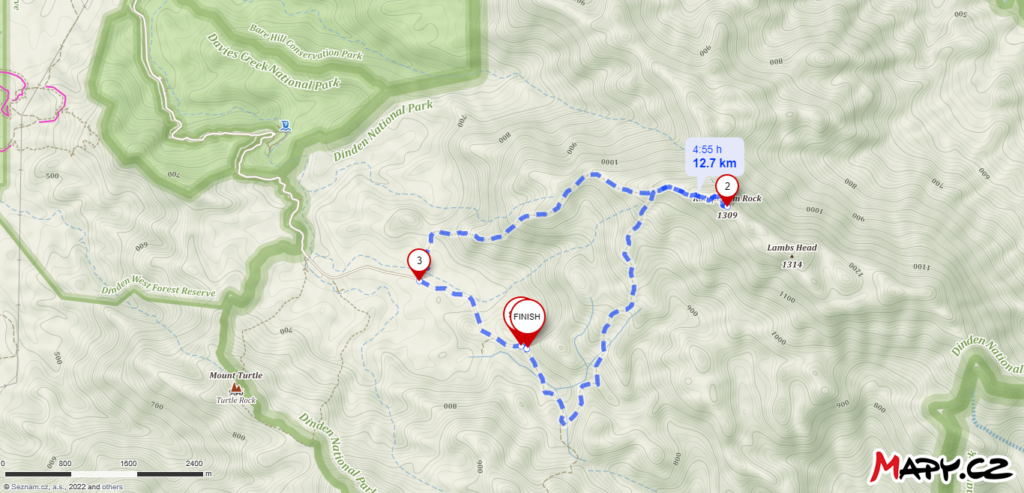
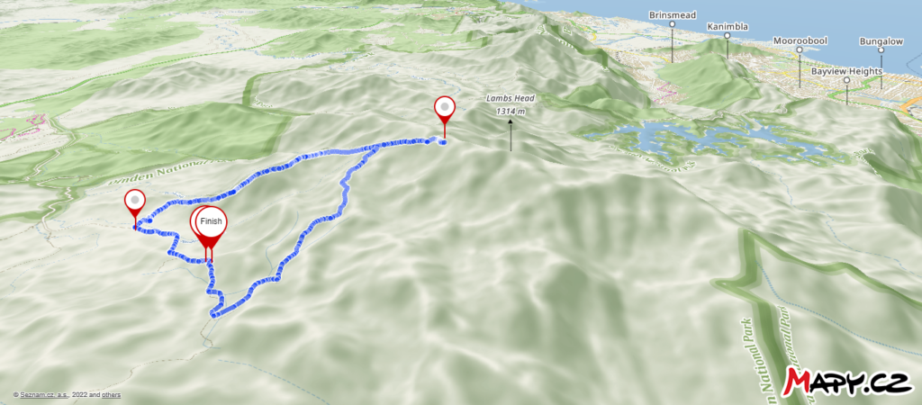
Kahlpahlim Rock and Lambs Head Hike Map
_____________
Directions to Kahlpahlim Rock and Lambs Head
_____________
Kahlpahlim Ridge Trail
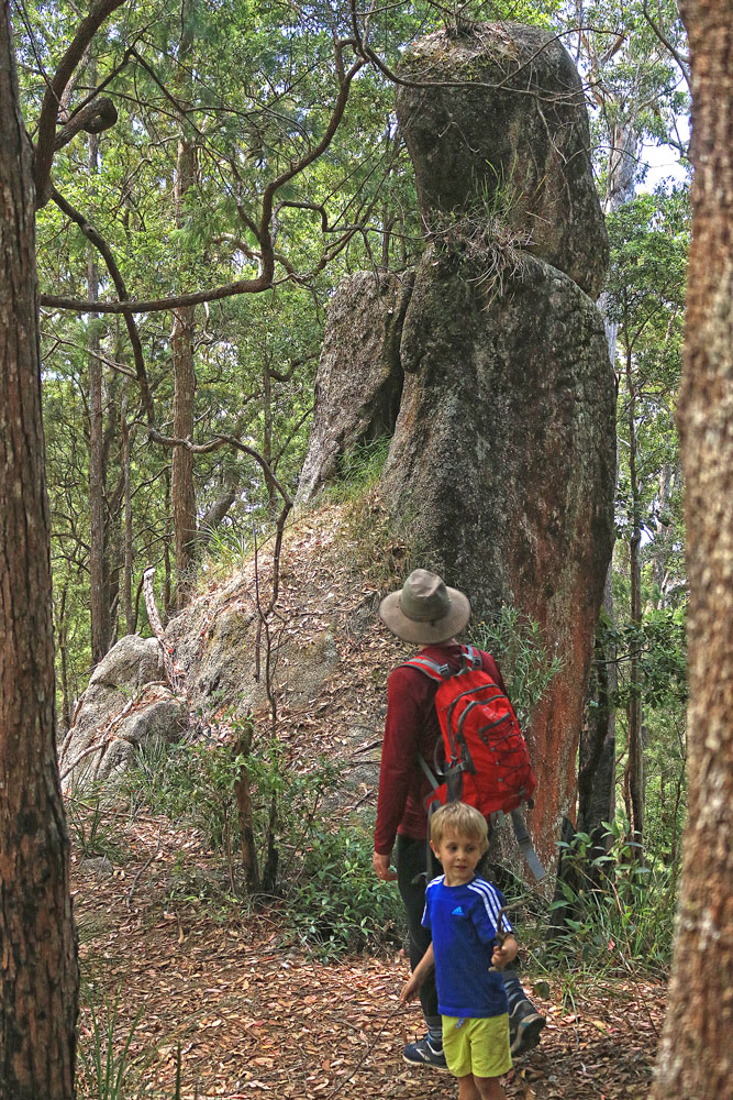
Distance: 9.2 km, 5 hrs return, hard
Start 1 km beyond the turnoff to Upper Davies Creek campground between sites 5 and 6. The car park and signage is on the right.
Head through open forest featuring rose gums, turpentines and casuarina trees. This is the shortest, but also the steepest approach to Kahlpahlim Junction. An elevation gain of about 450 metres in little over 3 kilometres makes the going hard on leg muscles. The spur line is followed through open woodland and in places the forest provides scattered shade only.
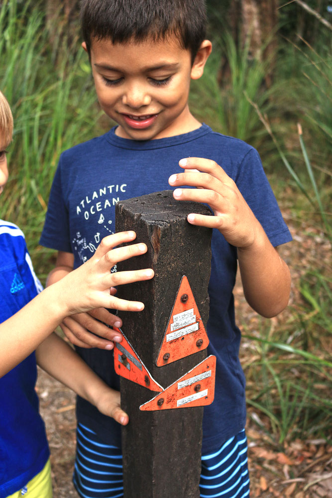
At about 3.5 kilometres you reach the ‘Y’ junction of Kahlpahlim Junction. A post with three arrows signals the junction. From there it is another 1 kilometre to the massive granite boulders of Kahlpahlim Rock.
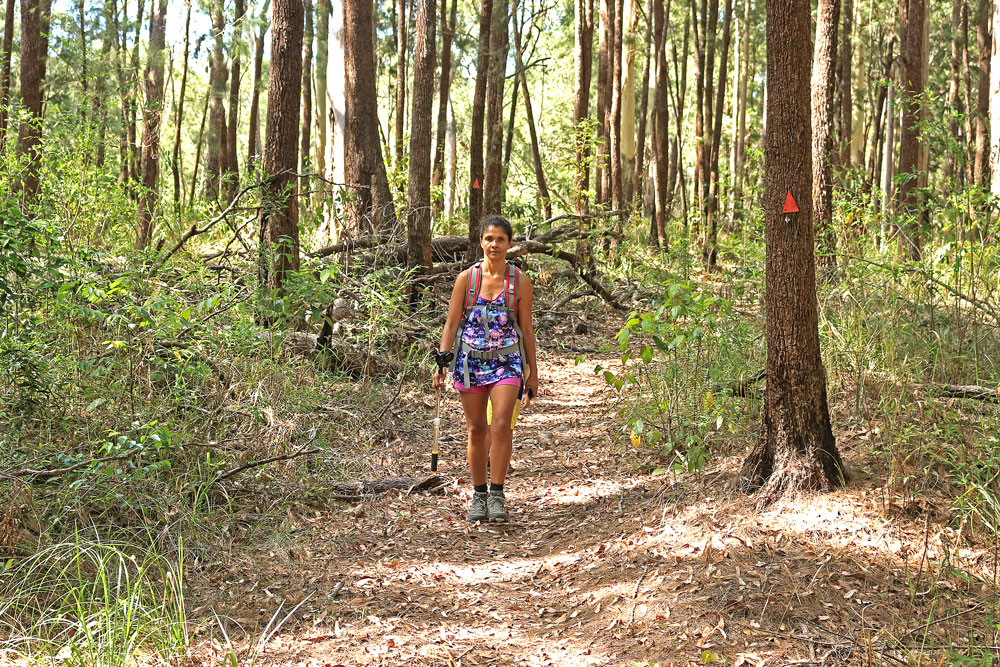
Kahlpahlim Rock Trail
Distance: 10.8 km, 6 hrs return, hard
This trail starts 2.3 kilometres beyond the start of the Ridge Trail on Davies Creek Road. The car park and signage will be on your right at the end of the road.
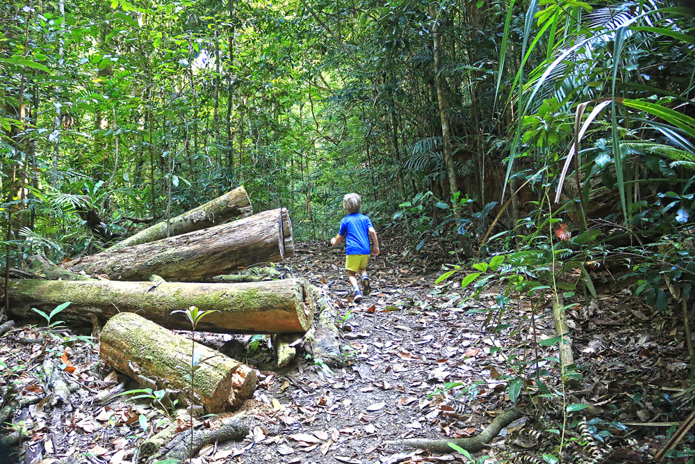
The trail initially follows a section of Davies Creek Road that is now blocked to vehicles. This former logging road is less steeper but longer than the Kahlpahlim Ridge Trail. Stocky Oraniopsis palms line the creek beside the road. Keep an eye out for the enormous hardwood tree stump beside the road a few hundred metres from the car park. It is one of a group that are remnants of the logging area.
About 20 minutes walk from the trailhead the road descends to a dilapidated wooden bridge. Cross the bridge, turn sharp left and follow the logging track that climbs away from the creek in a northeasterly direction. An enormous burled eucalyptus beside the track about 200 metres beyond the junction will confirm you are on the right track.
Ten minutes beyond the bridge you come to a small creek with the same distinctive Oraniopsis palms growing on a central sandy peninsula. This is the last water source on the Kahlpahlim Trail.
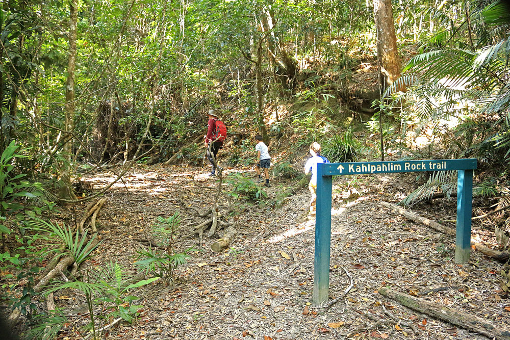
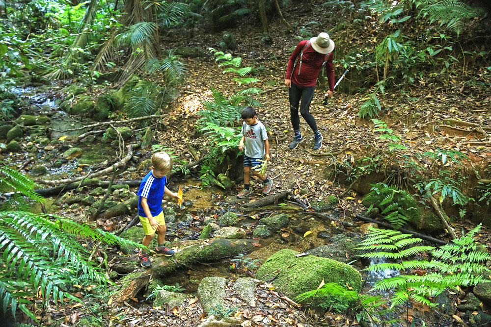
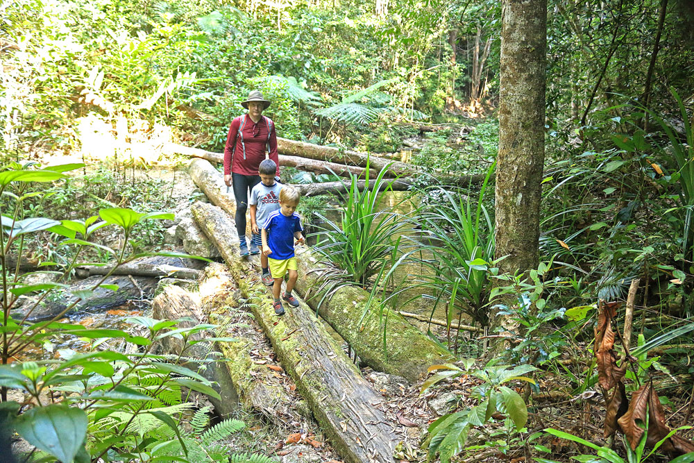
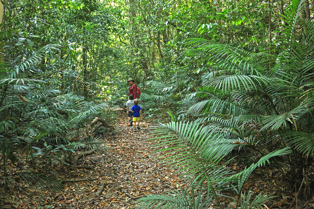
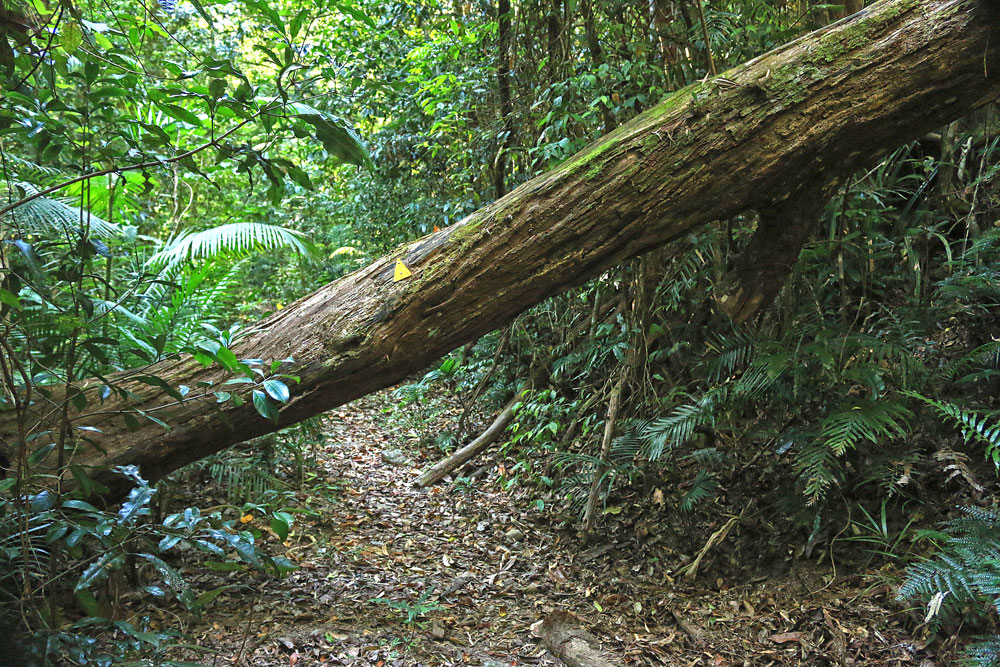
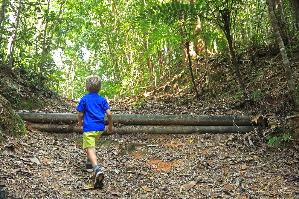
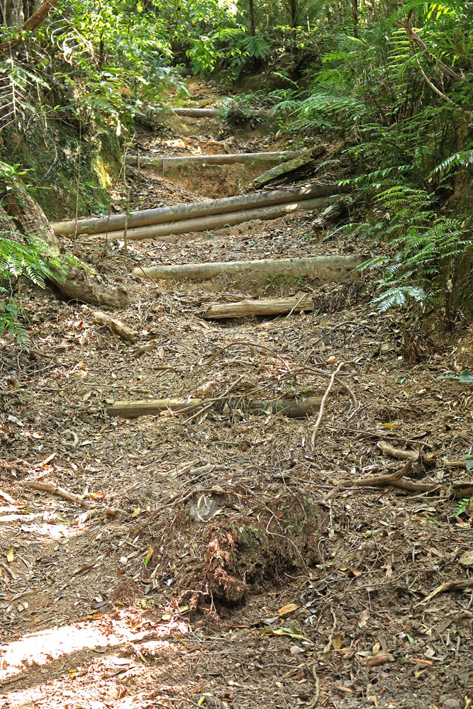
From the creek it is a long steep climb up the hill-face to the ridge. If you haven’t worked up a sweat yet you certainly will now, though the trail has been improved by the addition of timber shoring on eroded sections.
In about 10 minutes you reach a plateau where the track levels for about 300 m as it heads northeast along a rainforest ridge populated with purple Kauri Pines. These high altitude members of the Kauri Pine family are easily identified by their flaky purple bark.
After a couple more steep ascents, the trail narrows and passes through a grassy section.
At the end of this demanding section, walkers will reach the junction of the logging track and the narrow trail that leads off through low scrub on the right. A post with three arrows signals the junction. Keep the post to your left as you go past it to the top of Kahlpahlim Rock.
It is approximately 4.4 kilometres from the start to Kahlpahlim Junction.

Bowerbirds
Calls of tooth-billed bowerbirds dominate the bush sounds. They are large, compact and stocky rainforest bowerbirds about 30 cm long. Adult birds are largely brown with buff streaking to the neck and sides of head and the breast is cream to bluff with brown streaking. The bill is curved with tooth-like notches. The birds have the ability to mimic other sounds with makes being known to mimic over 40 species of birds as well as sounds of frogs, fruit-bats, cicadas, and even dropping water.
Kahlpahlim Junction to Kahlpahlim Rock

Along the summit ridge there are five separate lookouts joined by a winding, narrow track. In this cloud forest environment many of the rocks are partly covered with mosses and lichens, while others support orchids.
At the eastern extremity there is a communications tower, a helipad and a large clearing. Vistas from the various vantage points are towards the coast, the Atherton Tableland and surrounding country.
Lookout 1
Lookout 1, a large granite boulder to the left of the trail is 150 m beyond the junction. At the lookout, Mareeba, the most obvious landmark, lies due west. This is a good place to take a breather.
Beyond the lookout the trail continues to climb steadily along the ridge. An abundance of purple Kauris grow along this captivating sector of the walk, sheltering a Golden Bower Bird bower that clings to two small saplings beside the path. Male birds weave small sticks to create an irregular shaped courting tower.
Lookout 2
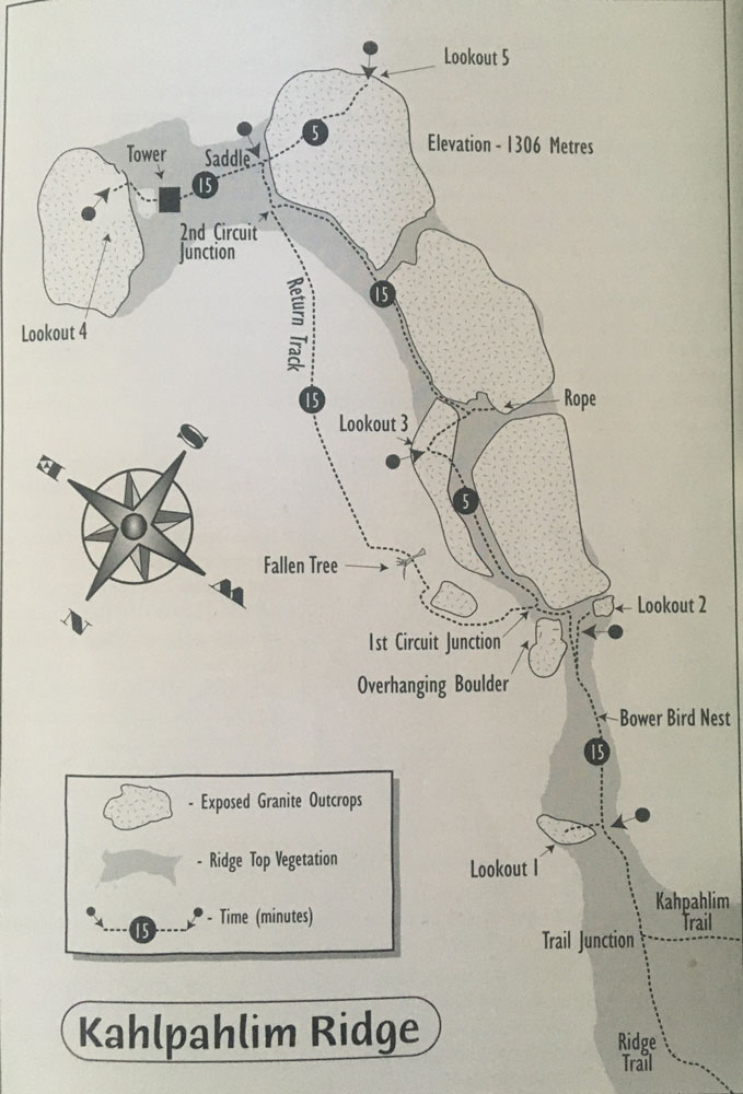
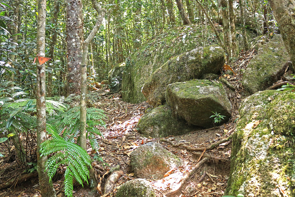
About 15 minutes of steady climbing brings you to a sheer rock face and a fork in the trail. The indistinct path to the right heads a few metres west to Lookout 2, which overlooks the southern end of the Atherton Tableland.
The main trail turns left and cuts down between the rock face and large boulder. Just past the downhill overhang of this boulder is the first circuit junction, which is fairly easy to miss.
Lookout 3
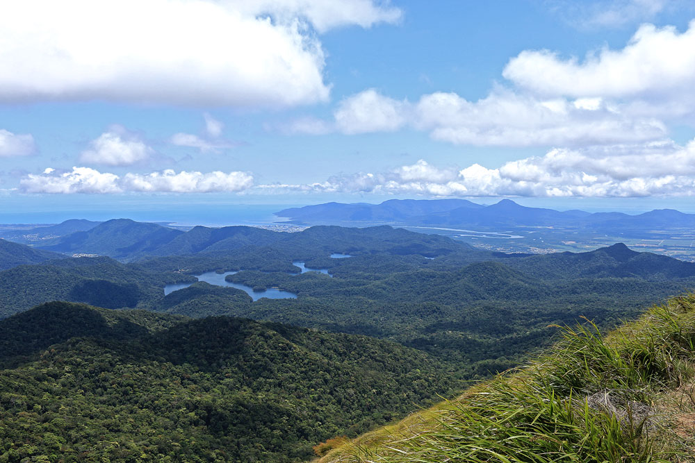
The trail splits to create a circuit track at a cleft between the rocks on your right. Follow the trail up the cleft to Lookout 3. What a view! You look down over Lake Morris, Cairns, the Coral Coast and surrounding mountains, a 180-degree arc. To the southeast, 150 m away, stands the rounded brow of Kahlpahlim Rock.
From the lookout the trail cuts back through the bushes to a T-junction, where a 15 m track leads to a rope attached to a steel peg embedded in the rock. Apparently climbers have used this to scale the otherwise inaccessible peak.
The trail swings left and passes down between two boulders, a slightly awkward descent through a small tree growing in the crevice. Take off your backpack and wriggle your way through. From here the trail hugs the rock face as it undulates around the base of the boulders, bringing you to the second circuit junction in about 15 minutes. Turn right at the junction and climb up the short steep pinch to the saddle. Moss and orchids festoon rocks, tree trunks and every available surface, typical of high altitude cloud forest.
The rough trail on the eastern side of the saddle climbs 100 m to the tower complex on Kahlpahlim Rock. Beyond the tower is a helipad, a flat grassed clearing surrounded by cloud forest. You are now on the summit.
Lookout 4
Flagging tape on the northeastern edge of the clearing marks the start of the 80 m descent through cloud forest onto the brow of Kahlpahlim Rock. This is Lookout 4, a breathtaking panorama over Lake Morris and the coast.
Lookout 5
On your return to the saddle, you can climb the short steep path on the western side to Lookout 5, which has a panoramic view of the Atherton Tableland.
Return from Kahlpahlim Rock
To return, descend to the second circuit junction and follow the flagged trail straight ahead. This section of trail descends quite steeply through a wide arc around the base of the boulders. At the lowest point you may have to crawl under recent tree falls across the trail. Follow the arrow markers up and around the boulders until you reach the first circuit junction at the overhanging boulder. Now you are back on familiar ground you can start the return hike.
“YOU CAN TAKE THE RIDGE TRAIL OR KAHLPAHLIM ROCK TRAIL BACK DOWN TO THE TRAILHEAD.”
Once at Kahlpahlim Junction, you can take the right path to return via the Ridge trail or follow the left fork, Kahlpahlim Rock Trail, almost due south and down the mountain. Cross Davies Creek then follow the old logging road to the trackhead at the end of Davies Creek Road. It is a further 2.5 km back to the start following Davies Creek Road.
In Conclusion
_____________
The Kahlpahlim Rock and Lambs Head hike is a strenuous hike and one not for the faint-hearted. However, if you’re a fit and experienced hiker, this is a hike worth taking on for some stupendous views of Kahlpahlim Rock and Lambs Head as well as the surrounding area of Dinden National Park. It’s a great day out especially if you have good weather on the day.
If you’re looking for more hiking trails around Cairns, check out my post 20 Best Cairns Hikes with Spectacular Views.
I love to hear from my readers. Are you planning to or have you completed the Kahlpahlim Rock and Lambs Head hike? Either way, please let me know if you liked this hike or not. Leave your comments below.
